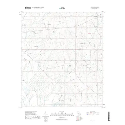
2018 Map of Sheridan
USGS Topo · Published 2018About this map
Franklinton and the neighboring settlements of Sheridan, Springhill, and Pine Cliff dot this Washington Parish landscape in the late 2010s. The area is defined by a dense network of watercourses, including Bogue Lusa Cr and Clearwater Cr, which carve through the terrain alongside numerous family-named branches like Mile Br and Johnson Br. This map is particularly valuable for genealogical research, documenting many local burial grounds such as Simmons Cem, Magee Cem, and Creel Cemetery. The western edge features the Franklinton Airport, while the eastern portion is characterized by the winding path of Witcher Cr and Thomas Cr. The survey detail captures a mix of residential development and wetlands, notably the Back Swamp, illustrating how the local community has integrated with the watershed of the Black Bayou.
Find a feature on this map
93 named features on this map. Tap any name to fly to it.
Don’t see what you’re looking for? This feature index may not catch every label — zoom into the map to look around manually.
Map Details
Editions of this 2018 Sheridan Map
This is the sole edition of this map. No revisions or reprints were ever made.
Other maps of this area

1939 · Zona
USGS Topo · 1:31,680

1939 · Clifton
USGS Topo · 1:31,680

1942 · Thigpen
USGS Topo · 1:31,680

1942 · Rio
USGS Topo · 1:31,680

1942 · Thomas
USGS Topo · 1:31,680

1949 · Bogalusa West
USGS Topo · 1:31,680

1950 · Folsom
USGS Topo · 1:31,680

1950 · Crains Creek
USGS Topo · 1:31,680

1950 · Franklinton
USGS Topo · 1:31,680

1953 · Mobile
USGS Topo · 1:250,000