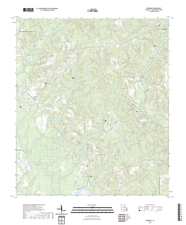
2024 Map of Sheridan
USGS Topo · Published 2024About this map
Sheridan and the surrounding piney woods of Washington Parish are defined by a complex network of family cemeteries and winding waterways. The landscape is dotted with ancestral sites including Magee Cem, Oak Grove Cem, and the Thomas M Jones Family Cem, offering significant value for genealogists tracing local lineage. The terrain transitions from the upland drainage of Potato Patch Branch and Sandy Hollow Creek toward the low-lying reaches of Back Swamp in the south.
Find a feature on this map
95 named features on this map. Tap any name to fly to it.
Don’t see what you’re looking for? This feature index may not catch every label — zoom into the map to look around manually.
Map Details
Editions of this 2024 Sheridan Map
This is the sole edition of this map. No revisions or reprints were ever made.
Other maps of this area

1939 · Zona
USGS Topo · 1:31,680

1939 · Clifton
USGS Topo · 1:31,680

1942 · Thigpen
USGS Topo · 1:31,680

1942 · Rio
USGS Topo · 1:31,680

1942 · Thomas
USGS Topo · 1:31,680

1949 · Bogalusa West
USGS Topo · 1:31,680

1950 · Folsom
USGS Topo · 1:31,680

1950 · Crains Creek
USGS Topo · 1:31,680

1950 · Franklinton
USGS Topo · 1:31,680

1953 · Mobile
USGS Topo · 1:250,000