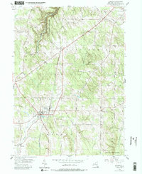
1954 Map of Sherman
USGS Topo · Published 1988About this map
Sherman serves as the primary hub of this mid-century Western New York landscape, situated at a junction where the Pennsylvania RR Sta meets a grid of rural routes. The village is defined by its position along French Creek, which flows southwest toward Slab City. To the north and east, the terrain transitions into a more heavily wooded and protected environment within the State Reforestation Area, where numerous family-named roads like Putnam Road and Brumagin Road weave through the hills of Chautauqua. Small rural clusters such as Summerdale and Stebbins Corners represent the dispersed settlement pattern typical of the era. Genealogists may find particular value in locating the Porter Cem or identifying local landmarks like the North Harmony Ch and Central Ch, which anchored these upland farming communities in the early 1950s.
Find a feature on this map
39 named features on this map. Tap any name to fly to it.
Don’t see what you’re looking for? This feature index may not catch every label — zoom into the map to look around manually.
Map Details
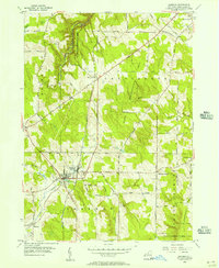
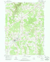
Editions of this 1954 Sherman Map
3 editions found
Other maps of this area

1899 · Westfield
USGS Topo · 1:62,500

1900 · Dunkirk
USGS Topo · 1:62,500

1904 · Chautaqua
USGS Topo · 1:62,500

1905 · Clymer
USGS Topo · 1:62,500

1939 · Clymer
USGS Topo · 1:62,500

1941 · Chautauqua
USGS Topo · 1:62,500

1941 · Clymer
USGS Topo · 1:62,500

1943 · Dunkirk
USGS Topo · 1:62,500

1954 · Chautauqua
USGS Topo · 1:24,000

1954 · South Ripley
USGS Topo · 1:24,000