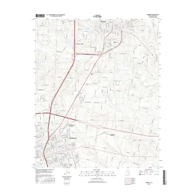
2016 Map of Sherman
USGS Topo · Published 2016About this map
Sherman and southern Denison define this landscape, showing a dense network of residential streets and transport corridors in Grayson County. The historic campus of Austin Coll sits near the heart of Sherman, while the northern extent reaches toward the recreational and residential areas of Waterloo Lake and Frontier Village. The map reveals the expansion of these communities toward one another, connected by the prominent Texoma Pkwy and Eisenhower Pkwy.
Find a feature on this map
136 named features on this map. Tap any name to fly to it.
Don’t see what you’re looking for? This feature index may not catch every label — zoom into the map to look around manually.
Map Details
Editions of this 2016 Sherman Map
This is the sole edition of this map. No revisions or reprints were ever made.
Other maps of this area

1901 · Denison
USGS Topo · 1:125,000

1954 · Sherman
USGS Topo · 1:250,000

1957 · Denison Dam
USGS Topo · 1:24,000

1958 · Durant
USGS Topo · 1:62,500

1958 · Dorchester
USGS Topo · 1:24,000

1958 · Whitesright
USGS Topo · 1:62,500

1958 · Denison Dam
USGS Topo · 1:62,500

1958 · Sherman NW
USGS Topo · 1:24,000

1958 · Sherman
USGS Topo · 1:250,000

1958 · Sherman
USGS Topo · 1:62,500