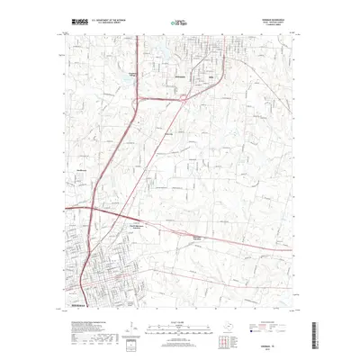
2019 Map of Sherman
USGS Topo · Published 2019About this map
Sherman and Denison anchor this modern survey of North Texas, revealing the densifying corridor between these two Grayson County cities. The landscape is defined by its transit hubs and historical preservation sites, notably Frontier Village located near the waters of Loy Lake. This area serves as a critical junction for regional infrastructure, with Sherman Municipal Airport and multiple rail intersections such as North Sherman Junction and Sherman Junction facilitating the movement of goods and people.
Find a feature on this map
268 named features on this map. Tap any name to fly to it.
Don’t see what you’re looking for? This feature index may not catch every label — zoom into the map to look around manually.
Map Details
Editions of this 2019 Sherman Map
This is the sole edition of this map. No revisions or reprints were ever made.
Other maps of this area

1901 · Denison
USGS Topo · 1:125,000

1954 · Sherman
USGS Topo · 1:250,000

1957 · Denison Dam
USGS Topo · 1:24,000

1958 · Durant
USGS Topo · 1:62,500

1958 · Dorchester
USGS Topo · 1:24,000

1958 · Whitesright
USGS Topo · 1:62,500

1958 · Denison Dam
USGS Topo · 1:62,500

1958 · Sherman NW
USGS Topo · 1:24,000

1958 · Sherman
USGS Topo · 1:250,000

1958 · Sherman
USGS Topo · 1:62,500