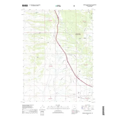
2017 Map of Sherman Mountains West
USGS Topo · Published 2017About this map
Old Sherman Cem and the nearby Ames Monument anchor the southern portion of this high-altitude landscape, marking a site of significant early transcontinental transportation history in Albany County. The terrain is defined by the granite formations of the Sherman Mountains and the sprawling acreage of the Medicine Bow National Forest. A complex drainage network, including Dale Cr, S Crow Cr, and Middle Crow Cr, carves through the uplands between prominent summits like Pole Mtn and Poland Hill. The map documents a dense grid of modern access roads and forest routes such as Happy Jack Rd and Blair Wallis Rd, which facilitate movement through the canyons and gulches. The presence of Williams Number 3 Reservoir highlights the importance of water management in this high-plains environment.
Find a feature on this map
53 named features on this map. Tap any name to fly to it.
Don’t see what you’re looking for? This feature index may not catch every label — zoom into the map to look around manually.
Map Details
Editions of this 2017 Sherman Mountains West Map
This is the sole edition of this map. No revisions or reprints were ever made.
Other maps of this area

1895 · Laramie
USGS Topo · 1:125,000

1902 · Laramie
USGS Topo · 1:125,000

1905 · Sherman
USGS Topo · 1:125,000

1905 · Laramie
USGS Topo · 1:125,000

1906 · Laramie
USGS Topo · 1:125,000

1908 · Laramie
USGS Topo · 1:125,000

1948 · Sherman Mountains
USGS Topo · 1:62,500

1948 · Ragged Top Mountain
USGS Topo · 1:62,500

1950 · Ragged Top Mountain
USGS Topo · 1:62,500

1950 · Sherman Mountains
USGS Topo · 1:62,500