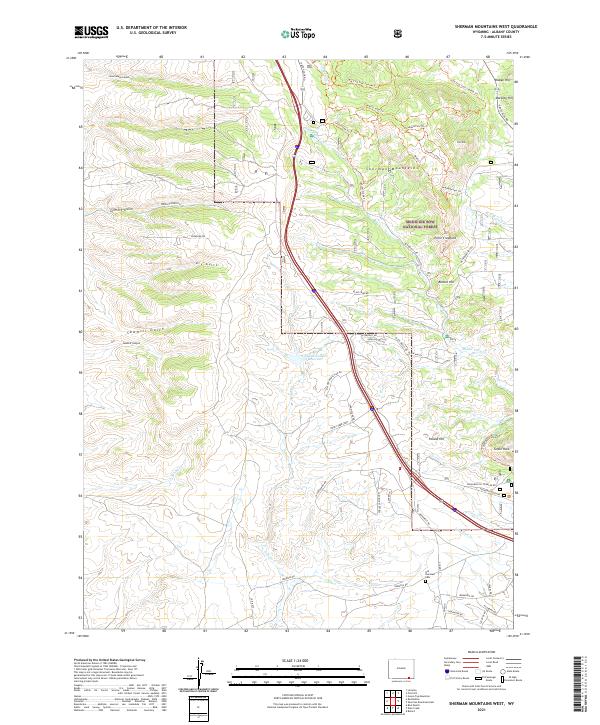
2021 Map of Sherman Mountains West
USGS Topo · Published 2021About this map
The Sherman Mountains rise sharply in this high-altitude landscape within the Medicine Bow National Forest of Albany County. This 2021 survey reveals a complex network of recreational and historical access points, including the extensive Tie City Trail System Trl and the Summit Loops Trl near Pole Mtn. For historians, the southern portion of the map is particularly significant, containing the Old Sherman Cem, a quiet remnant of the transcontinental railroad era near the former high point of the line. The terrain is defined by rugged granite outcroppings like Turtle Rock and deep drainages such as Sawmill Canyon and Gilmore Gulch. Water resources are central to the area's geography, from the Williams Number 3 Reservoir to the headwaters of Dale Cr and Middle Crow Cr.
Find a feature on this map
54 named features on this map. Tap any name to fly to it.
Don’t see what you’re looking for? This feature index may not catch every label — zoom into the map to look around manually.
Map Details
Editions of this 2021 Sherman Mountains West Map
This is the sole edition of this map. No revisions or reprints were ever made.
Other maps of this area

1895 · Laramie
USGS Topo · 1:125,000

1902 · Laramie
USGS Topo · 1:125,000

1905 · Sherman
USGS Topo · 1:125,000

1905 · Laramie
USGS Topo · 1:125,000

1906 · Laramie
USGS Topo · 1:125,000

1908 · Laramie
USGS Topo · 1:125,000

1948 · Sherman Mountains
USGS Topo · 1:62,500

1948 · Ragged Top Mountain
USGS Topo · 1:62,500

1950 · Ragged Top Mountain
USGS Topo · 1:62,500

1950 · Sherman Mountains
USGS Topo · 1:62,500