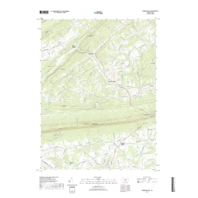
2019 Map of Shermans Dale
USGS Topo · Published 2019About this map
Shermans Creek winds through the northern valleys of Perry County, serving as a focal point for settlements like Shermans Dale and Dromgold. This area is defined by the sharp transition between the lowlands of the Cumberland Valley and the ridge-and-valley terrain of the Appalachians. The prominent ridge of Blue Mountain acts as a natural barrier between Cumberland and Perry counties, pierced only by narrow crossings such as Sterretts Gap and Longs Gap.
Find a feature on this map
94 named features on this map. Tap any name to fly to it.
Don’t see what you’re looking for? This feature index may not catch every label — zoom into the map to look around manually.
Map Details
Editions of this 2019 Shermans Dale Map
This is the sole edition of this map. No revisions or reprints were ever made.
Other maps of this area

1904 · Carlisle
USGS Topo · 1:62,500

1907 · New Bloomfield
USGS Topo · 1:62,500

1919 · Newville
USGS Topo · 1:62,500

1930 · Loysville
USGS Topo · 1:62,500

1933 · Loysville
USGS Topo · 1:62,500

1943 · New Bloomfield
USGS Topo · 1:62,500

1943 · Carlisle
USGS Topo · 1:62,500

1945 · Newville
USGS Topo · 1:62,500

1950 · Harrisburg
USGS Topo · 1:250,000
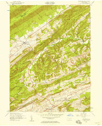
1952 · Ickesburg
USGS Topo · 1:24,000