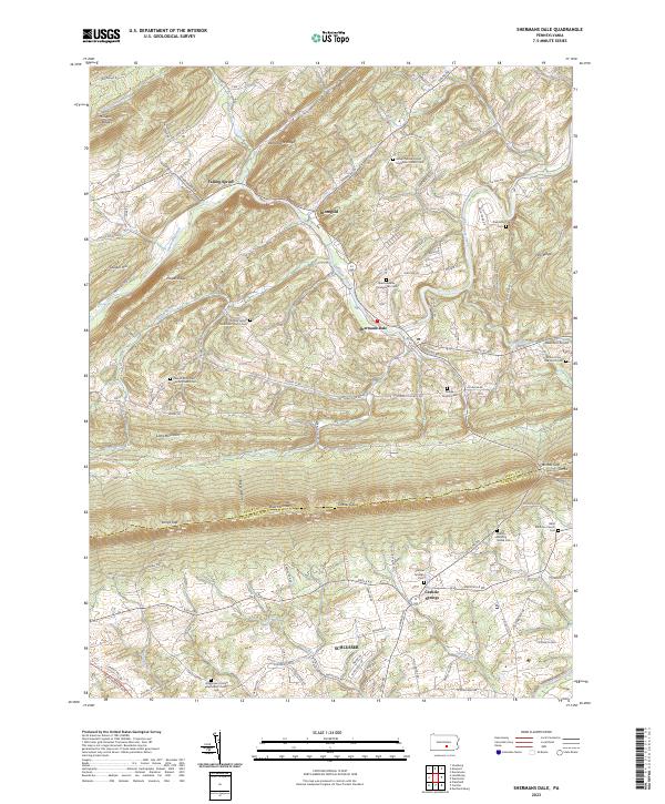
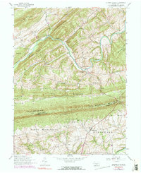
2023 Map of Shermans Dale
USGS Topo · Published 2023About this map
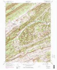
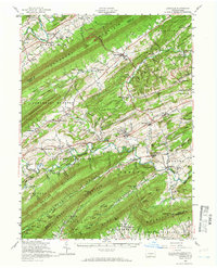
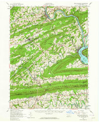
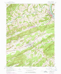
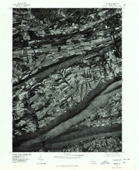
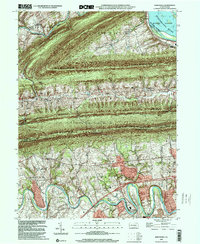
Shermans Creek carves a winding path through the gap between Pisgah Ridge and Rattlesnake Ridge, anchoring a landscape where the valley floors of Perry County meet the steep ascent of Blue Mountain. This modern survey records the enduring footprint of rural crossroads like Shermans Dale and Dromgold, which serve as vital points of reference along the Spring Road corridor. The geography is defined by parallel ridges and the gaps that pierce them, including Sterretts Gap and Longs Gap, which have historically facilitated movement across the county line into Cumberland County.
Find a feature on this map
110 named features on this map. Tap any name to fly to it.
Don’t see what you’re looking for? This feature index may not catch every label — zoom into the map to look around manually.
Map Details
Editions of this 2023 Shermans Dale Map
This is the sole edition of this map. No revisions or reprints were ever made.
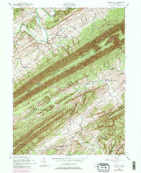
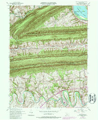
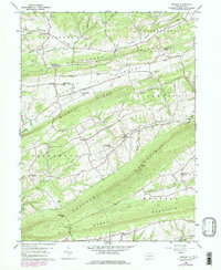
Historical Maps of North Middleton Township Through Time
22 maps found
1907 New Bloomfield
Perry County, PA

1930 Loysville
Perry County, PA
1933 Loysville
Perry County, PA

1943 New Bloomfield
Perry County, PA
1952 Andersonburg
Perry County, PA
1952 Ickesburg
Perry County, PA
1952 Loysville
Perry County, PA
1952 New Bloomfield
Perry County, PA
1952 Newport
Perry County, PA
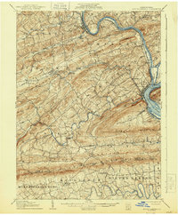
1952 Shermans Dale
Perry County, PA
1952 Spruce Hill
Perry County, PA
1952 Wertzville
Perry County, PA
1959 Reward
Perry County, PA
1977 Reward
Perry County, PA
1999 Wertzville
Perry County, PA
2023 Andersonburg
Perry County, PA
2023 Ickesburg
Perry County, PA
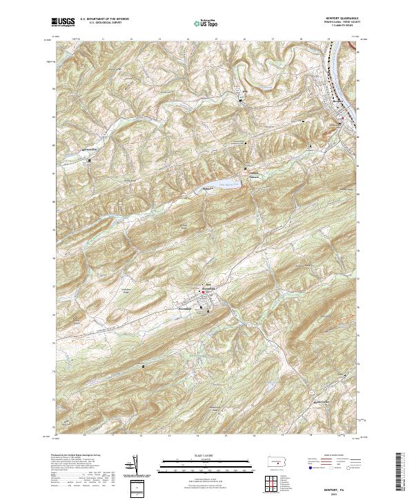
2023 Newport
Perry County, PA
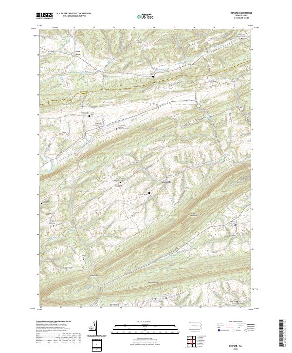
2023 Reward
Perry County, PA
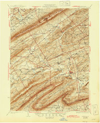
2023 Shermans Dale
Perry County, PA
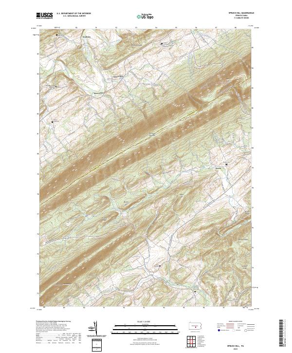
2023 Spruce Hill
Perry County, PA
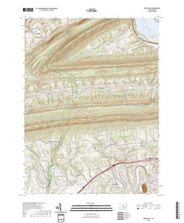
2023 Wertzville
Perry County, PA