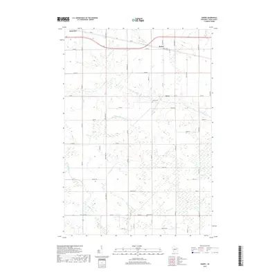
2018 Map of Sherry
USGS Topo · Published 2018About this map
Auburndale, Blenker, and Sherry anchor this rural Wood County landscape, defined by a dense network of country roads and the winding tributaries of the Wisconsin River watershed. The terrain is intricately carved by several branches of Hemlock Cr, including the E Fork Hemlock Cr and N Fork Hemlock Cr, which flow through a mix of open farmland and wooded wetlands. Significant local landmarks include Fairview Cem near the settlement of Sherry and Reformed Cem to the south along Co Rd HH. The road grid, including Arpin Sherry Rd and Rangeline Rd, reflects the organized agricultural development of the region. This 2018 survey documents the persistent rural character of the area, showing how modern transportation routes like Main St and Tower Dr interface with natural features like Mill Creek and Moccasin Cr.
Find a feature on this map
51 named features on this map. Tap any name to fly to it.
Don’t see what you’re looking for? This feature index may not catch every label — zoom into the map to look around manually.
Map Details
Editions of this 2018 Sherry Map
This is the sole edition of this map. No revisions or reprints were ever made.
Other maps of this area

1953 · Eau Claire
USGS Topo · 1:250,000

1954 · Marshfield
USGS Topo · 1:62,500

1955 · Green Bay
USGS Topo · 1:250,000

1956 · Milladore
USGS Topo · 1:48,000

1957 · Wisconsin Rapids
USGS Topo · 1:48,000

1957 · Pittsville
USGS Topo · 1:48,000

1958 · Eau Claire
USGS Topo · 1:250,000

1964 · Eau Claire
USGS Topo · 1:250,000

1967 · Wisconsin Rapids
USGS Topo · 1:62,500

1967 · Pittsville
USGS Topo · 1:62,500