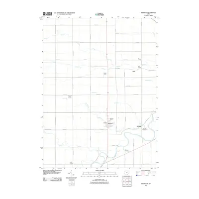
2010 Map of Sherwood
USGS Topo · Published 2010About this map
The Maumee River defines the southern reach of this landscape, carving a deep oxbow near the settlement of The Bend where Snooks Run and Sulphur Creek meet the main channel. This 2010 survey illustrates the rural character of western Defiance County, anchored by the village of Sherwood, which serves as a central hub for the surrounding township. The area is notable for its high density of family and community burial grounds, including the New Saint Stephens Catholic Cemetery and Saint Johns Lutheran Cemetery, reflecting a long history of local church-based settlement. Small-scale infrastructure like Rogers Airport and the Sherwood Post Office sit amidst a grid of section roads named for early families, such as Openlander Rd and Behnfeldt Rd. Further north, the landscape is drained by a network of seasonal waterways including Lost Creek and Dry Creek, while the small community of Moats remains established near its namesake Moats Cemetery.
Find a feature on this map
50 named features on this map. Tap any name to fly to it.
Don’t see what you’re looking for? This feature index may not catch every label — zoom into the map to look around manually.
Map Details
Editions of this 2010 Sherwood Map
This is the sole edition of this map. No revisions or reprints were ever made.
Other maps of this area

1907 · Defiance
USGS Topo · 1:62,500

1909 · Defiance
USGS Topo · 1:62,500

1909 · Continental
USGS Topo · 1:62,500

1914 · Bryan
USGS Topo · 1:62,500

1914 · Paulding
USGS Topo · 1:62,500

1943 · Bryan
USGS Topo · 1:62,500

1944 · Paulding
USGS Topo · 1:62,500

1953 · Fort Wayne
USGS Topo · 1:250,000

1956 · Fort Wayne
USGS Topo · 1:250,000

1960 · Sherwood
USGS Topo · 1:24,000