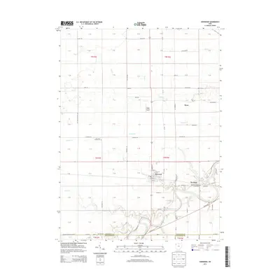
2013 Map of Sherwood
USGS Topo · Published 2013About this map
Sherwood sits at the junction of several rural routes in this section of Northwest Ohio, where the local economy follows the winding path of the Maumee River. The landscape is defined by a dense network of small waterways including Snooks Run, Sulphur Cr, and Platter Cr, which drain the agricultural lands of both Defiance Co and Paulding County. The settlement patterns reflect a history of community and faith, evidenced by numerous burial grounds such as Sherwood Cem, Saint Johns Lutheran Cem, and the New Saint Stephens Catholic Cem near the river bend.
Find a feature on this map
96 named features on this map. Tap any name to fly to it.
Don’t see what you’re looking for? This feature index may not catch every label — zoom into the map to look around manually.
Map Details
Editions of this 2013 Sherwood Map
This is the sole edition of this map. No revisions or reprints were ever made.
Other maps of this area

1907 · Defiance
USGS Topo · 1:62,500

1909 · Defiance
USGS Topo · 1:62,500

1909 · Continental
USGS Topo · 1:62,500

1914 · Bryan
USGS Topo · 1:62,500

1914 · Paulding
USGS Topo · 1:62,500

1943 · Bryan
USGS Topo · 1:62,500

1944 · Paulding
USGS Topo · 1:62,500

1953 · Fort Wayne
USGS Topo · 1:250,000

1956 · Fort Wayne
USGS Topo · 1:250,000

1960 · Sherwood
USGS Topo · 1:24,000