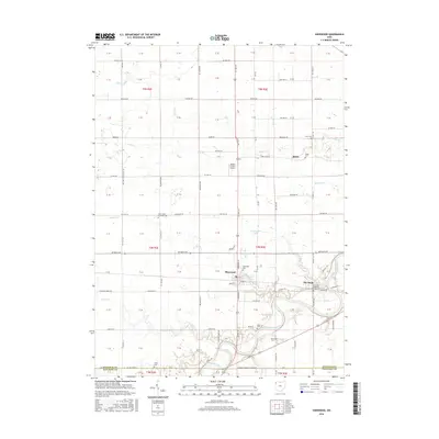
2016 Map of Sherwood
USGS Topo · Published 2016About this map
The Maumee River winds through the southern reaches of this landscape, defining the topography south of Sherwood and the small settlement at The Bend. The terrain is marked by a dense network of country roads and township lines, where small family cemeteries like Funk Cem and Moats Cem reflect the deep-rooted agricultural history of the region. North of the river, the village of Sherwood serves as a local hub, situated where US Rte 127 intersects with east-west routes like Defiance Ave.
Find a feature on this map
117 named features on this map. Tap any name to fly to it.
Don’t see what you’re looking for? This feature index may not catch every label — zoom into the map to look around manually.
Map Details
Editions of this 2016 Sherwood Map
This is the sole edition of this map. No revisions or reprints were ever made.
Other maps of this area

1907 · Defiance
USGS Topo · 1:62,500

1909 · Defiance
USGS Topo · 1:62,500

1909 · Continental
USGS Topo · 1:62,500

1914 · Bryan
USGS Topo · 1:62,500

1914 · Paulding
USGS Topo · 1:62,500

1943 · Bryan
USGS Topo · 1:62,500

1944 · Paulding
USGS Topo · 1:62,500

1953 · Fort Wayne
USGS Topo · 1:250,000

1956 · Fort Wayne
USGS Topo · 1:250,000

1960 · Sherwood
USGS Topo · 1:24,000