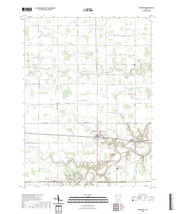
2023 Map of Sherwood
USGS Topo · Published 2023About this map
The Maumee River defines the southern landscape of this Northwest Ohio region, winding through the sharp oxbow known as The Bend. The village of Sherwood serves as the primary hub, where a grid of local streets including Harrison St and Pearl St meets the rural hinterland. This area is heavily marked by its local history, evidenced by a dense concentration of burial grounds such as Sherwood Cem, Blair Cem, and Glore Cem that pepper the riverbanks and crossroads.
Find a feature on this map
81 named features on this map. Tap any name to fly to it.
Don’t see what you’re looking for? This feature index may not catch every label — zoom into the map to look around manually.
Map Details
Editions of this 2023 Sherwood Map
This is the sole edition of this map. No revisions or reprints were ever made.
Other maps of this area

1907 · Defiance
USGS Topo · 1:62,500

1909 · Defiance
USGS Topo · 1:62,500

1909 · Continental
USGS Topo · 1:62,500

1914 · Bryan
USGS Topo · 1:62,500

1914 · Paulding
USGS Topo · 1:62,500

1943 · Bryan
USGS Topo · 1:62,500

1944 · Paulding
USGS Topo · 1:62,500

1953 · Fort Wayne
USGS Topo · 1:250,000

1956 · Fort Wayne
USGS Topo · 1:250,000

1960 · Sherwood
USGS Topo · 1:24,000