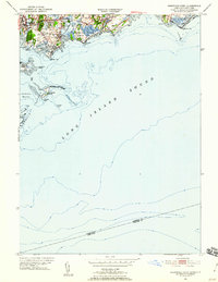
1951 Map of Sherwood Point
USGS Topo · Published 1959About this map
The Saugatuck River serves as a focal point for this coastal survey, where the developing residential clusters of Westport and Saugatuck meet the waters of Long Island Sound. The shoreline is characterized by a mix of recreational and natural spaces, from the developed Compo Beach and Longshore Country Club to the protected reaches of Sherwood Island State Park. Inland, the path of the New York New Haven and Hartford railroad cuts through the landscape, anchoring the transportation corridor that fueled mid-century growth in Fairfield and its surrounding coastal neighborhoods like Owenoke and Hale Court.
Find a feature on this map
46 named features on this map. Tap any name to fly to it.
Don’t see what you’re looking for? This feature index may not catch every label — zoom into the map to look around manually.
Map Details
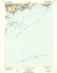
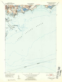
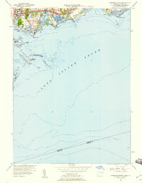
Editions of this 1951 Sherwood Point Map
4 editions found
Other maps of this area

1891 · Bridgeport
USGS Topo · 1:62,500

1892 · Norwalk
USGS Topo · 1:62,500

1893 · Bridgeport
USGS Topo · 1:62,500

1893 · Norwalk
USGS Topo · 1:62,500

1901 · Northport
USGS Topo · 1:62,500

1902 · Setauket
USGS Topo · 1:62,500

1903 · Northport
USGS Topo · 1:62,500

1904 · Setauket
USGS Topo · 1:62,500

1904 · Islip
USGS Topo · 1:125,000

1919 · Setauket
USGS Topo · 1:62,500