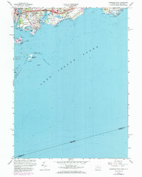
1960 Map of Sherwood Point
USGS Topo · Published 1973About this map
Sherwood Island State Park anchors this coastal survey, showing the Fairfield County shoreline during a period of significant postwar infrastructure growth. The 1971 photorevisions highlight the expansion of the Connecticut Turnpike and the busy Penn Central rail line, which includes the Westport Sta hub. The map captures the distinct character of the Gold Coast, from the residential clusters at Greens Farms and Saugatuck Shores to the recreational spaces of the Westport Longshore Club Park. Beyond the mainland, the intricate geography of the islands is meticulously detailed, featuring Cockenoe Island and the dangerous Cockenoe Shoal. Geologists and local historians can trace the tidal reaches of the Saugatuck River and the protected waters of the Yacht Basin and Sherwood Millpond.
Find a feature on this map
52 named features on this map. Tap any name to fly to it.
Don’t see what you’re looking for? This feature index may not catch every label — zoom into the map to look around manually.
Map Details
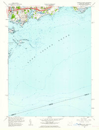
Editions of this 1960 Sherwood Point Map
2 editions found
Other maps of this area

1891 · Bridgeport
USGS Topo · 1:62,500

1892 · Norwalk
USGS Topo · 1:62,500

1893 · Bridgeport
USGS Topo · 1:62,500

1893 · Norwalk
USGS Topo · 1:62,500

1901 · Northport
USGS Topo · 1:62,500

1902 · Setauket
USGS Topo · 1:62,500

1903 · Northport
USGS Topo · 1:62,500

1904 · Setauket
USGS Topo · 1:62,500

1904 · Islip
USGS Topo · 1:125,000

1919 · Setauket
USGS Topo · 1:62,500