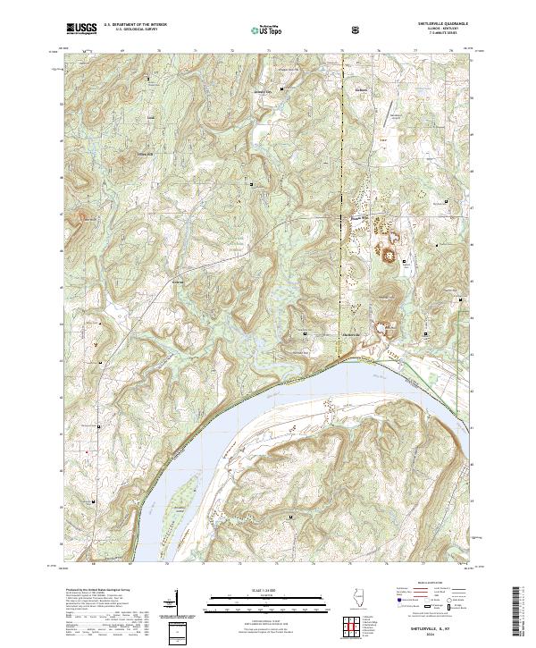
2024 Map of Shetlerville
USGS Topo · Published 2024About this map
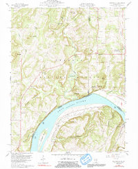
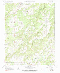
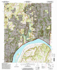
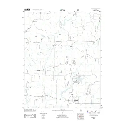
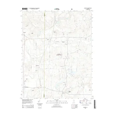
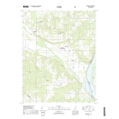
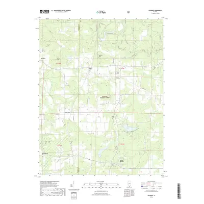
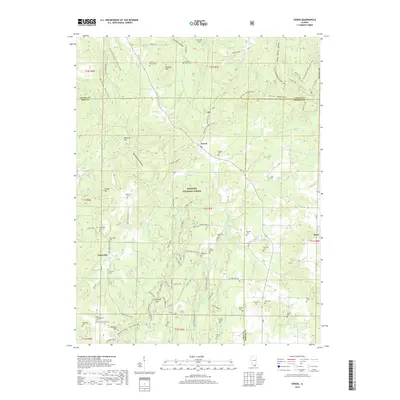
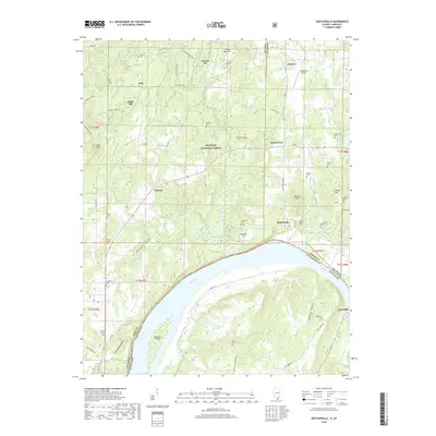
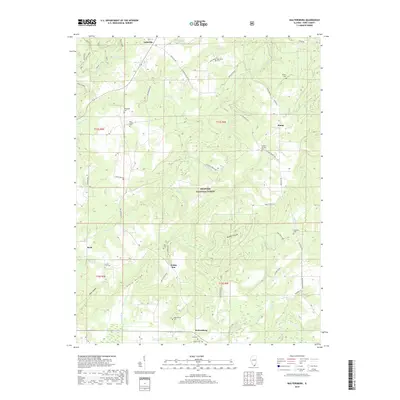
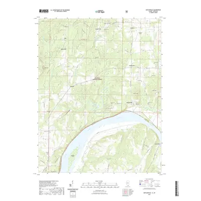
Shetlerville and the neighboring small communities of Lusk and Eichorn occupy a landscape deeply etched by the drainage of the Ohio River. The terrain is characterized by numerous small ridges and named hollows, such as Hurricane Hollow and Coalmine Hollow, which define the local geography. Significant family history is preserved through a high density of small burial grounds, including the Dutton Chapel Cem, Troutman Cem, and Loves Cem, many tucked away on wooded hillsides. The influence of the Shawnee National Forest is evident across the central portion of the map, while the southern boundary follows the sweeping curve of the river past Rondeau Island. Transportation history is visible at Humm Wye, reflecting the area's older infrastructure, while Henderson Airport serves as a modern landmark near the northern edge.
Find a feature on this map
65 named features on this map. Tap any name to fly to it.
Don’t see what you’re looking for? This feature index may not catch every label — zoom into the map to look around manually.
Map Details
Editions of this 2024 Shetlerville Map
This is the sole edition of this map. No revisions or reprints were ever made.
Historical Maps of Carrsville Through Time
38 maps found
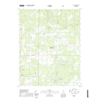
1917 Brownfield
Pope County, IL
1954 Shetlerville
Pope County, IL
1959 Herod
Pope County, IL
1959 Shetlerville
Pope County, IL
1962 Brownfield
Pope County, IL
1962 Brownfield
Pope County, IL
1962 Glendale
Pope County, IL
1962 Waltersburg
Pope County, IL
1996 Brownfield
Pope County, IL
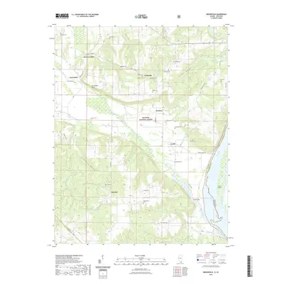
1996 Glendale
Pope County, IL
1996 Herod
Pope County, IL
1996 Shetlerville
Pope County, IL
1996 Waltersburg
Pope County, IL
2011 Brownfield
Pope County, IL
2011 Shetlerville
Pope County, IL
2012 Glendale
Pope County, IL
2012 Herod
Pope County, IL
2012 Waltersburg
Pope County, IL
2015 Brownfield
Pope County, IL
2015 Glendale
Pope County, IL
2015 Herod
Pope County, IL
2015 Shetlerville
Pope County, IL
2015 Waltersburg
Pope County, IL
2018 Brownfield
Pope County, IL
2018 Glendale
Pope County, IL
2018 Herod
Pope County, IL
2018 Shetlerville
Pope County, IL
2018 Waltersburg
Pope County, IL
2021 Brownfield
Pope County, IL
2021 Glendale
Pope County, IL
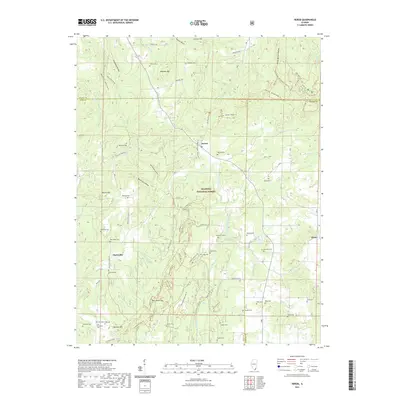
2021 Herod
Pope County, IL
2021 Shetlerville
Pope County, IL
2021 Waltersburg
Pope County, IL
2024 Brownfield
Pope County, IL
2024 Glendale
Pope County, IL
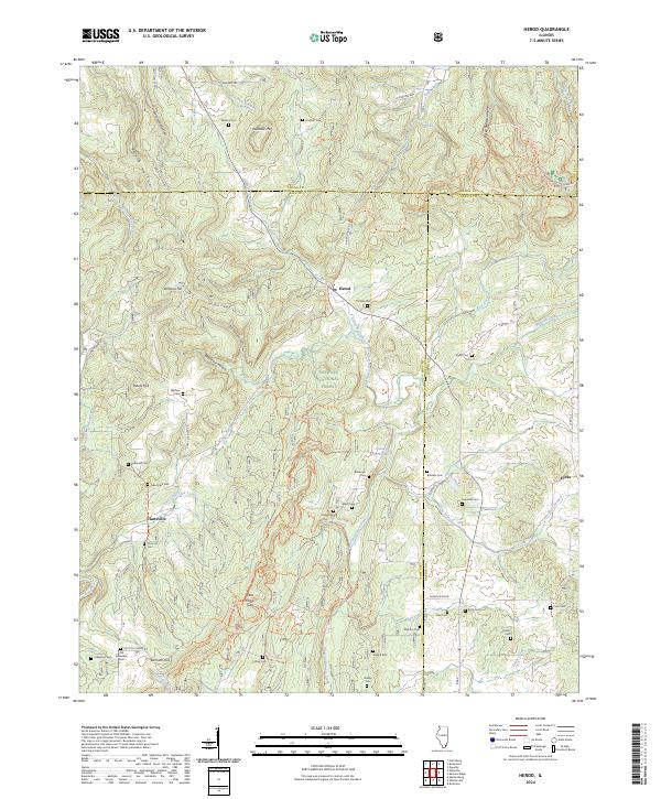
2024 Herod
Pope County, IL
2024 Shetlerville
Pope County, IL
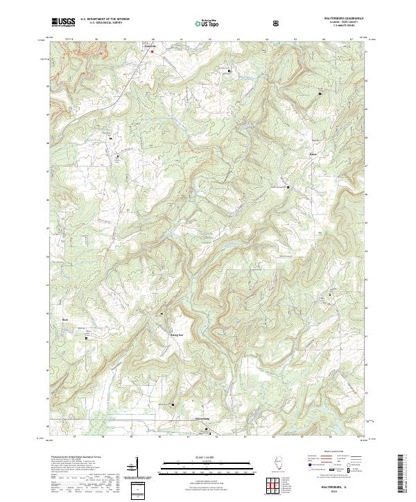
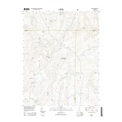
2024 Waltersburg
Pope County, IL