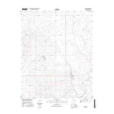
2016 Map of Shidler
USGS Topo · Published 2016About this map
Shidler and the surrounding Osage County prairies are defined by a grid of rural roads and the winding path of Salt Creek in this 2016 survey. The map details the small settlements of Webb City, Lyman, and Lep, capturing their residential layouts and street names such as Central Ave and 60th Rd. This modern topographical study shows how the landscape is segmented by local routes like Co Rd 4500 and Co Rd 4675, which navigate the various drainage systems including Haines Cr and Beaver Cr. The terrain reflects the transition from high plains to the riparian corridors of Mud Cr and Elm Cr, illustrating the enduring spatial arrangement of ranching and oil-country communities in northern Oklahoma. Local history researchers can trace the precise location of residential blocks and drainage basins that have shaped the development of these rural townships.
Find a feature on this map
57 named features on this map. Tap any name to fly to it.
Don’t see what you’re looking for? This feature index may not catch every label — zoom into the map to look around manually.
Map Details
Editions of this 2016 Shidler Map
This is the sole edition of this map. No revisions or reprints were ever made.
Other maps of this area

1916 · Foraker
USGS Topo · 1:62,500

1932 · Fairfax
USGS Topo · 1:62,500

1935 · Kaw
USGS Topo · 1:62,500

1936 · Belford
USGS Topo · 1:62,500

1955 · Enid
USGS Topo · 1:250,000

1958 · Enid
USGS Topo · 1:250,000

1964 · Charley Creek NE
USGS Topo · 1:24,000

1964 · Kaw City
USGS Topo · 1:24,000
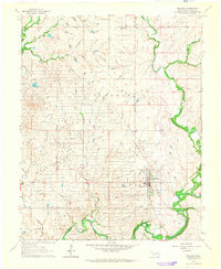
1964 · Shidler
USGS Topo · 1:24,000
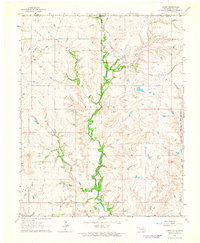
1964 · Hardy
USGS Topo · 1:24,000