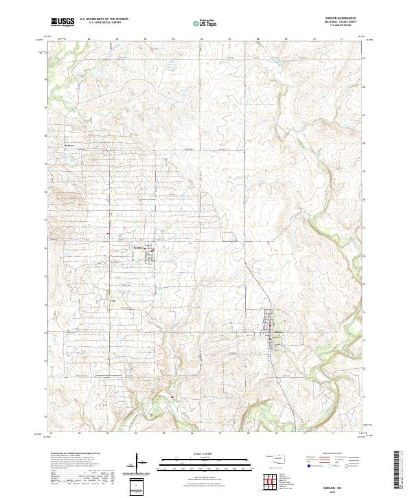
2022 Map of Shidler
USGS Topo · Published 2022About this map
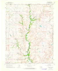
The town of Shidler serves as the focal point for this section of Osage County, where a grid of rural roads connects several small oil-town settlements. Historically part of the Burbank oil field boom, the landscape is defined by the winding course of Salt Creek and its many tributaries, including Haines Cr and Dugout Cr. To the west, Webb City and Lyman remain as markers of the area's industrial past, situated along Co RD 4500 and Co RD 4420.
Find a feature on this map
65 named features on this map. Tap any name to fly to it.
Don’t see what you’re looking for? This feature index may not catch every label — zoom into the map to look around manually.
Map Details
Editions of this 2022 Shidler Map
This is the sole edition of this map. No revisions or reprints were ever made.
Other maps of this area
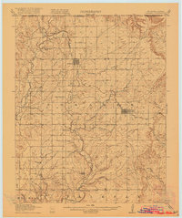
1916 · Foraker
USGS Topo · 1:62,500
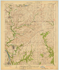
1932 · Fairfax
USGS Topo · 1:62,500
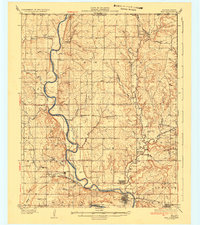
1935 · Kaw
USGS Topo · 1:62,500
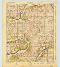
1936 · Belford
USGS Topo · 1:62,500

1955 · Enid
USGS Topo · 1:250,000

1958 · Enid
USGS Topo · 1:250,000
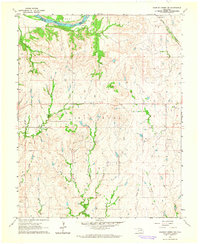
1964 · Charley Creek NE
USGS Topo · 1:24,000
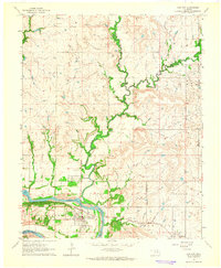
1964 · Kaw City
USGS Topo · 1:24,000
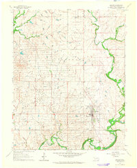
1964 · Shidler
USGS Topo · 1:24,000
1964 · Hardy
USGS Topo · 1:24,000