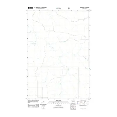
2011 Map of Shields SW
USGS Topo · Published 2011About this map
Leaf on the Hill Creek defines the hydrography of this rural landscape in the Porcupine District of southern North Dakota. This section of Sioux County is characterized by a sparse, open drainage pattern where the creek meanders across the prairie, reflecting the quiet agricultural and ranching character of the Standing Rock Reservation area. The map illustrates a strictly rural environment, focused on the natural flow of the water across the plains rather than dense human settlement. Without the presence of named towns, schools, or cemeteries, the map serves as a detailed record of the physical geography and the path of the primary waterway through this remote section of the Great Plains in the early 21st century.
Find a feature on this map
1 named feature on this map. Tap any name to fly to it.
Don’t see what you’re looking for? This feature index may not catch every label — zoom into the map to look around manually.
Map Details
Editions of this 2011 Shields SW Map
This is the sole edition of this map. No revisions or reprints were ever made.
Other maps of this area

1953 · McIntosh
USGS Topo · 1:250,000

1954 · Bismarck
USGS Topo · 1:250,000

1958 · Bismarck
USGS Topo · 1:250,000

1958 · McIntosh
USGS Topo · 1:250,000

1971 · Shields SW
USGS Topo · 1:24,000

1971 · Shields
USGS Topo · 1:24,000

1971 · Lookout Butte SE
USGS Topo · 1:24,000

1971 · Porcupine
USGS Topo · 1:24,000

1971 · Pamplin Hills
USGS Topo · 1:24,000

1972 · Walker
USGS Topo · 1:24,000