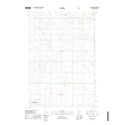
2020 Map of Shields SW
USGS Topo · Published 2020About this map
Cedar River National Grassland anchors the southwest corner of this Sioux County landscape, representing a significant portion of the federally protected prairie environment. The terrain is defined by the winding course of Leaf on the Hill Cr, which serpentines through the township divisions of the Porcupine District. The survey shows a largely undeveloped expanse of North Dakota shortgrass prairie, where the natural drainage patterns and the elevation contours of the rolling hills remain the primary geographic features. Modern infrastructure is minimal, represented by local corridors such as 37th Ave, which provides one of the few named access points through the sections. This document captures the stark, open character of the region as it appeared in the early 21st century, prior to further agricultural or industrial intensification.
Find a feature on this map
7 named features on this map. Tap any name to fly to it.
Don’t see what you’re looking for? This feature index may not catch every label — zoom into the map to look around manually.
Map Details
Editions of this 2020 Shields SW Map
This is the sole edition of this map. No revisions or reprints were ever made.
Other maps of this area

1953 · McIntosh
USGS Topo · 1:250,000

1954 · Bismarck
USGS Topo · 1:250,000

1958 · Bismarck
USGS Topo · 1:250,000

1958 · McIntosh
USGS Topo · 1:250,000

1971 · Shields SW
USGS Topo · 1:24,000

1971 · Shields
USGS Topo · 1:24,000

1971 · Lookout Butte SE
USGS Topo · 1:24,000

1971 · Porcupine
USGS Topo · 1:24,000

1971 · Pamplin Hills
USGS Topo · 1:24,000

1972 · Walker
USGS Topo · 1:24,000