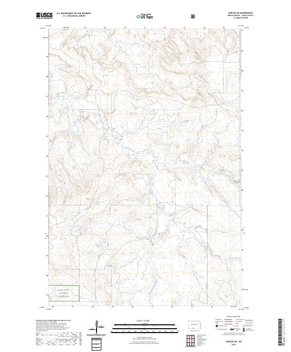
2024 Map of Shields SW
USGS Topo · Published 2024About this map
Cedar River National Grassland encompasses the southwestern portion of this Sioux County landscape, where the public lands of the National Forest Service meet the open prairie. The terrain is defined by the winding course of Leaf on the Hill Creek, which drains through a series of complex coulees and draws across the central and southern sections of the quadrangle. This 2024 survey reflects the modern management of these grasslands, showing the sparse road network that includes 37th Ave as a primary north-south connector. The map provides a detailed look at the Public Land Survey System grid across multiple townships, including t130n r84w, highlighting the intersection of federal conservation lands and rural agricultural tracts in the North Dakota badlands.
Find a feature on this map
7 named features on this map. Tap any name to fly to it.
Don’t see what you’re looking for? This feature index may not catch every label — zoom into the map to look around manually.
Map Details
Editions of this 2024 Shields SW Map
This is the sole edition of this map. No revisions or reprints were ever made.
Other maps of this area

1953 · McIntosh
USGS Topo · 1:250,000

1954 · Bismarck
USGS Topo · 1:250,000

1958 · Bismarck
USGS Topo · 1:250,000

1958 · McIntosh
USGS Topo · 1:250,000

1971 · Shields SW
USGS Topo · 1:24,000

1971 · Shields
USGS Topo · 1:24,000

1971 · Lookout Butte SE
USGS Topo · 1:24,000

1971 · Porcupine
USGS Topo · 1:24,000

1971 · Pamplin Hills
USGS Topo · 1:24,000

1972 · Walker
USGS Topo · 1:24,000