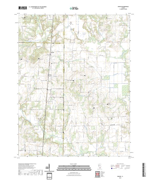
2024 Map of Shields
USGS Topo · Published 2024About this map
The agrarian landscape along the Skillet Fork river is defined by a dense network of family and community burial grounds, reflecting the deep genealogical roots of Wayne, Jefferson, and Marion counties. Small settlements like Shields, Stratton, and Keenesville serve as central points for a rural road system that connects various landmarks. The topography is largely low-lying with notable exceptions like Little Potatoe Hill and Potatoe Hill, which rise above the surrounding creeks and the Horseshoe Slough.
Find a feature on this map
107 named features on this map. Tap any name to fly to it.
Don’t see what you’re looking for? This feature index may not catch every label — zoom into the map to look around manually.
Map Details
Editions of this 2024 Shields Map
This is the sole edition of this map. No revisions or reprints were ever made.
Historical Maps of Marion County Through Time
14 maps found
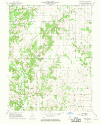
1968 Orchardville
Wayne County, IL

1970 Enterprise
Wayne County, IL
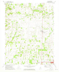
1970 Geff
Wayne County, IL
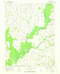
1971 Albion NW
Wayne County, IL
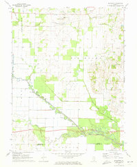
1971 Boyleston
Wayne County, IL
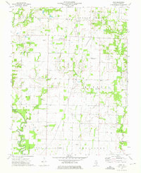
1973 Crisp
Wayne County, IL
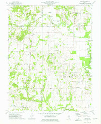
1973 Shields
Wayne County, IL
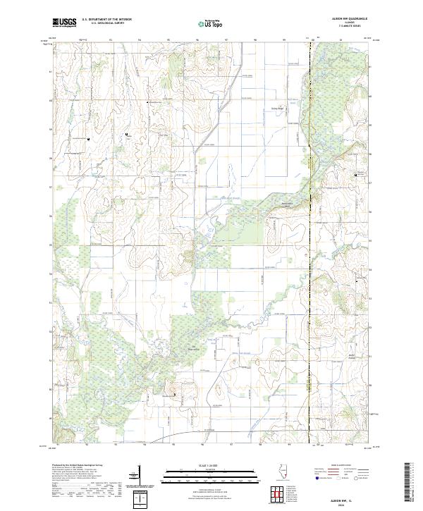
2024 Albion NW
Wayne County, IL
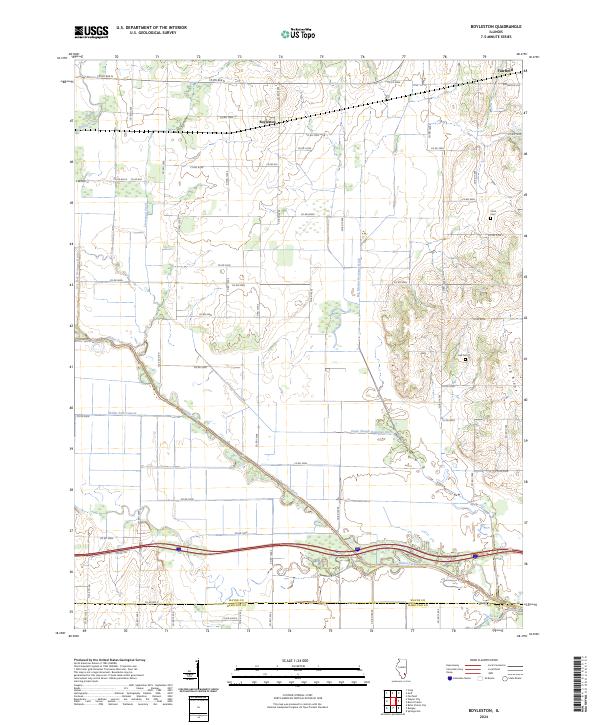
2024 Boyleston
Wayne County, IL
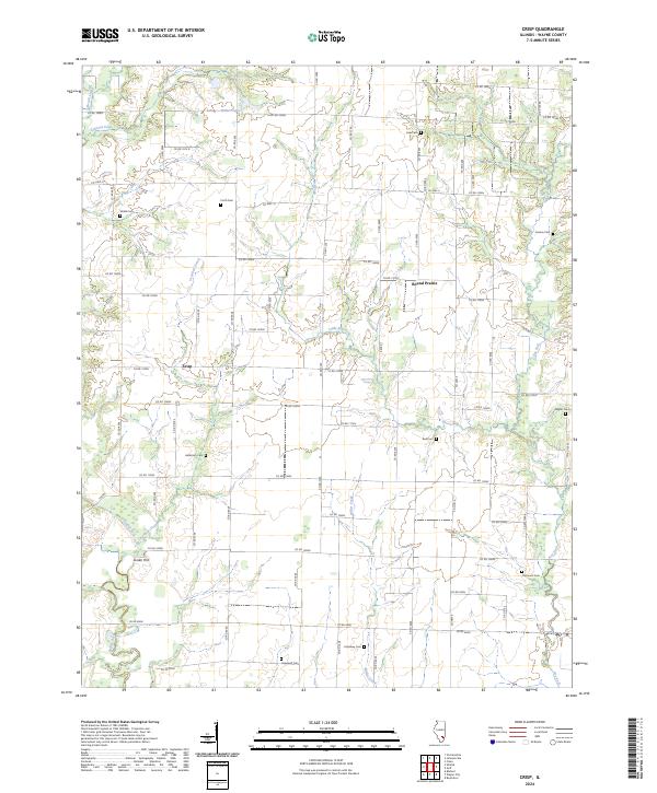
2024 Crisp
Wayne County, IL

2024 Enterprise
Wayne County, IL
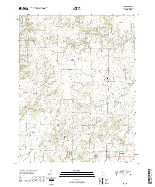
2024 Geff
Wayne County, IL
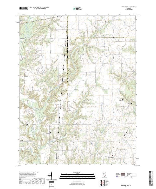
2024 Orchardville
Wayne County, IL
2024 Shields
Wayne County, IL