2024 Map of Boyleston
USGS Topo · Published 2024About this map
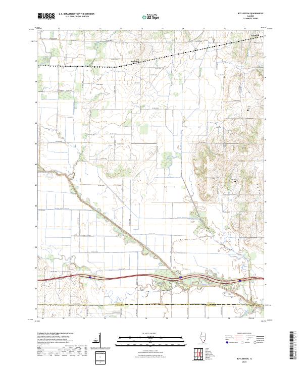
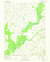
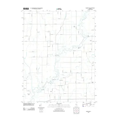
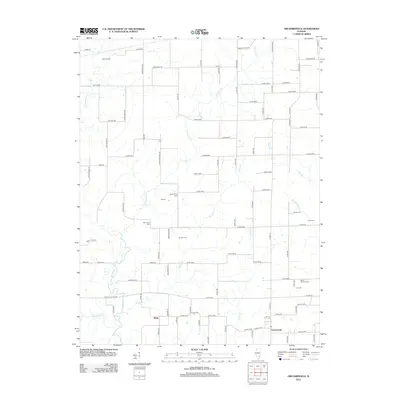
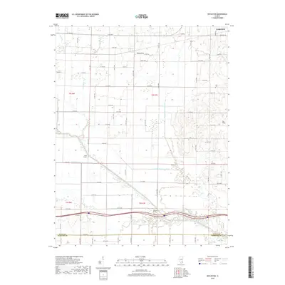
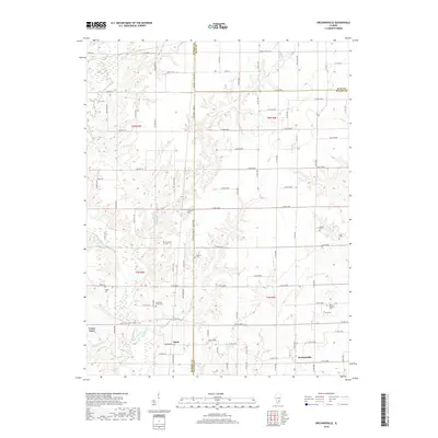
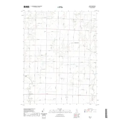
Boyleston and the outskirts of Fairfield anchor this southern Illinois landscape, where the flat agricultural plains of Wayne County meet the complex drainage network of the Skillet Fork. The area is defined by a grid of rural roads, such as Co RD 800 N and Co RD 1400e, that navigate around numerous watercourses and drainage projects. Engineering efforts like the Eagle Slough Drainage Ditch and Big Mound Drainage Ditch illustrate the long-standing effort to manage the local hydrology for farming. Genealogy researchers will find localized landmarks like Clark Cem and Hall Cem near Pig Ridge, providing specific points of interest for family history. The southern edge of the map tracks the boundary into Hamilton County, showing the transition of the Skillet Fork as it meanders through low-lying wetlands and the Skillet Fork Lagoon.
Find a feature on this map
59 named features on this map. Tap any name to fly to it.
Don’t see what you’re looking for? This feature index may not catch every label — zoom into the map to look around manually.
Map Details
Editions of this 2024 Boyleston Map
This is the sole edition of this map. No revisions or reprints were ever made.
Historical Maps of Fairfield Through Time
42 maps found
1968 Orchardville
Wayne County, IL
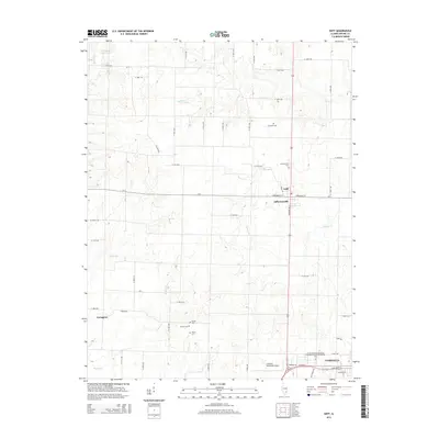
1970 Enterprise
Wayne County, IL
1970 Geff
Wayne County, IL
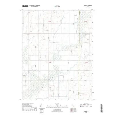
1971 Albion NW
Wayne County, IL
1971 Boyleston
Wayne County, IL
1973 Crisp
Wayne County, IL
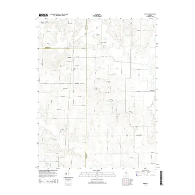
1973 Shields
Wayne County, IL
2012 Albion NW
Wayne County, IL

2012 Boyleston
Wayne County, IL
2012 Crisp
Wayne County, IL
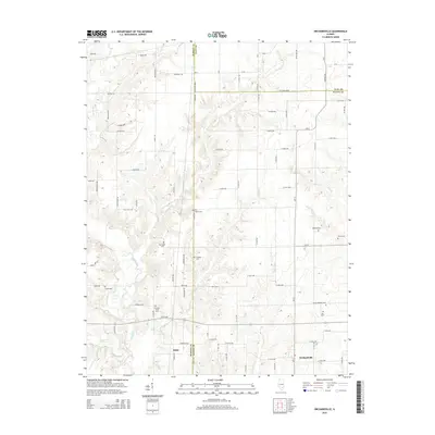
2012 Enterprise
Wayne County, IL
2012 Geff
Wayne County, IL
2012 Orchardville
Wayne County, IL
2012 Shields
Wayne County, IL
2015 Albion NW
Wayne County, IL
2015 Boyleston
Wayne County, IL

2015 Crisp
Wayne County, IL

2015 Enterprise
Wayne County, IL
2015 Geff
Wayne County, IL
2015 Orchardville
Wayne County, IL
2015 Shields
Wayne County, IL
2018 Albion NW
Wayne County, IL
2018 Boyleston
Wayne County, IL
2018 Crisp
Wayne County, IL
2018 Enterprise
Wayne County, IL
2018 Geff
Wayne County, IL
2018 Orchardville
Wayne County, IL
2018 Shields
Wayne County, IL
2021 Albion NW
Wayne County, IL
2021 Boyleston
Wayne County, IL
2021 Crisp
Wayne County, IL
2021 Enterprise
Wayne County, IL
2021 Geff
Wayne County, IL
2021 Orchardville
Wayne County, IL

2021 Shields
Wayne County, IL
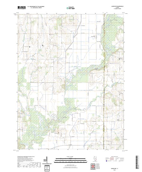
2024 Albion NW
Wayne County, IL
2024 Boyleston
Wayne County, IL
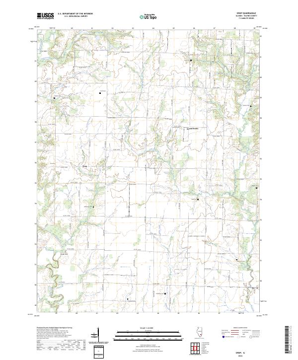
2024 Crisp
Wayne County, IL
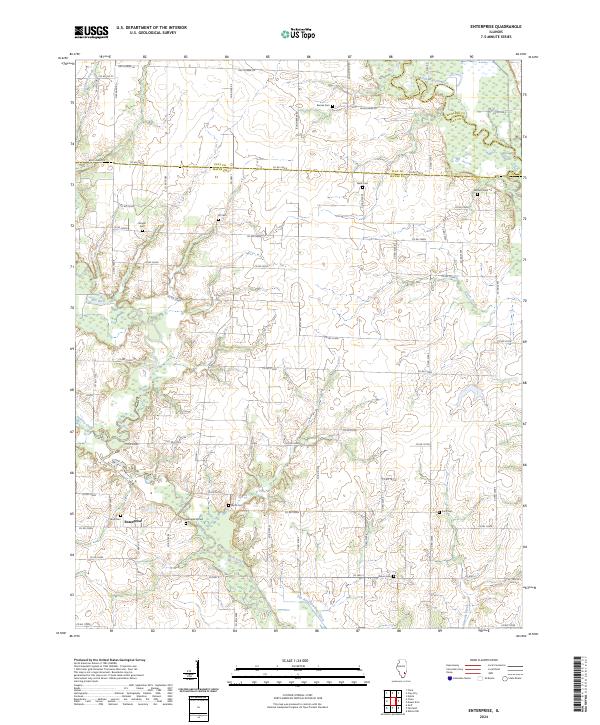
2024 Enterprise
Wayne County, IL
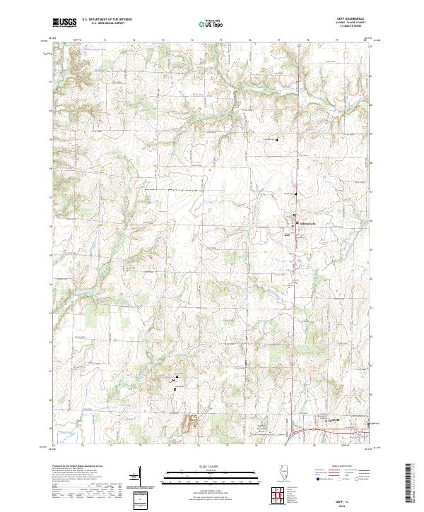
2024 Geff
Wayne County, IL
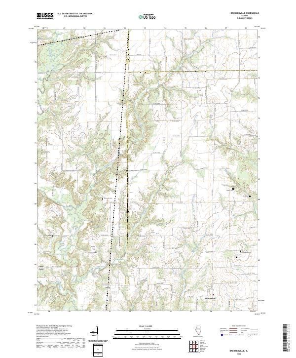
2024 Orchardville
Wayne County, IL
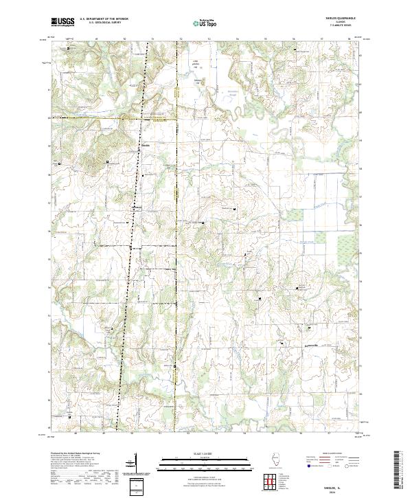
2024 Shields
Wayne County, IL