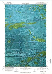
1974 Map of Shilling Dam NE
USGS Topo · Published 1976About this map
Red Lake Indian Reservation lands dominate the northern and southern reaches of this landscape, flanking the designated Beltrami Island State Forest in the center. The map reveals a remote wetland and forest environment characterized by the winding path of the Rapid River and the small Meadow Creek at the northern edge. This 1974 orthophotomap provides a unique visual record, blending traditional topographic data with photographic imagery to show the dense vegetation and drainage patterns of the Red Lake State Wildlife Management Area. Researchers can trace the faint path of a Winter Trail through the timber and marsh, a critical route for travel and transport across this isolated borderland region of Lake of the Woods County.
Find a feature on this map
7 named features on this map. Tap any name to fly to it.
Don’t see what you’re looking for? This feature index may not catch every label — zoom into the map to look around manually.
Map Details
Editions of this 1974 Shilling Dam NE Map
This is the sole edition of this map. No revisions or reprints were ever made.
Other maps of this area

1918 · Winterroad
USGS Topo · 1:62,500

1918 · F
USGS Topo · 1:62,500

1919 · Peppermint Creek
USGS Topo · 1:62,500

1919 · G
USGS Topo · 1:62,500

1943 · Peppermint Creek
USGS Topo · 1:62,500

1954 · Roseau
USGS Topo · 1:250,000

1957 · Roseau
USGS Topo · 1:250,000

1958 · Roseau
USGS Topo · 1:250,000
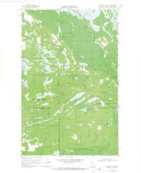
1968 · Graceton SW
USGS Topo · 1:24,000
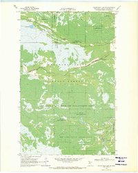
1969 · Winter Road Lake SE
USGS Topo · 1:24,000