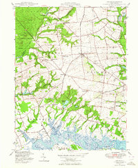
1947 Map of Shiloh
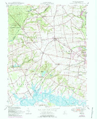
USGS Topo · Published 1964About this map
Greenwich and Shiloh anchor this agricultural and marshland landscape in Cumberland County just after World War II. The map reveals a community deeply connected to its watercourses, from the Cohansey River in the south to the complex network of Stow Creek and Macanippuck Run in the west. Civil infrastructure is prominently recorded, including the County Almshouse and County Hospital south of Bowentown.
Find a feature on this map
74 named features on this map. Tap any name to fly to it.
Don’t see what you’re looking for? This feature index may not catch every label — zoom into the map to look around manually.
Map Details
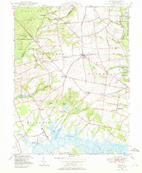
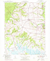
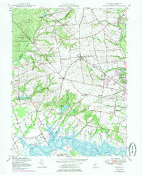
Editions of this 1947 Shiloh Map
5 editions found
Other maps of this area

1890 · Salem
USGS Topo · 1:62,500

1890 · Bay Side
USGS Topo · 1:62,500

1890 · Bridgeton
USGS Topo · 1:62,500

1890 · Glassboro
USGS Topo · 1:62,500

1894 · Bay Side
USGS Topo · 1:62,500

1894 · Bridgeton
USGS Topo · 1:62,500

1898 · Salem
USGS Topo · 1:62,500

1898 · Glassboro
USGS Topo · 1:62,500

1899 · Vineland
USGS Topo · 1:125,000

1901 · Camden
USGS Topo · 1:125,000
Featured Places
- Bridgeton, NJ
- Fairfield Township, NJ
- Hopewell Township, NJ
- Quinton Township, NJ
- Lower Alloways Creek Township, NJ