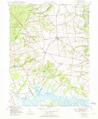
1947 Map of Shiloh
USGS Topo · Published 1969About this map
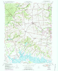
The Cohansey River and its labyrinth of tidal marshes define this agricultural landscape in the late 1940s, where the rural economy of southern New Jersey is deeply tied to water. Along the river's edge, Greenwich Pier and Laning Wharf stand as terminal points for local transport, while the interior is dotted with historic milling sites like Mickles Mill, Seventh Day Mill, and Sheppards Mill. The settlement pattern follows family-named crossroads such as Campbells Corner and Dickerson Corner, reflecting a long history of land ownership and community clusters. Cultural and civic life is anchored by the Town Hall, the County Almshouse, and the County Hospital. Specialized agriculture is evident in the Cranberry bog near Springtown, while the Central RR of New Jersey provides a vital link through Bowentown and the outskirts of Bridgeton.
Find a feature on this map
76 named features on this map. Tap any name to fly to it.
Don’t see what you’re looking for? This feature index may not catch every label — zoom into the map to look around manually.
Map Details
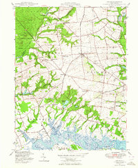
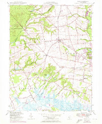
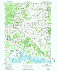
Editions of this 1947 Shiloh Map
5 editions found
Other maps of this area

1890 · Salem
USGS Topo · 1:62,500

1890 · Bay Side
USGS Topo · 1:62,500

1890 · Bridgeton
USGS Topo · 1:62,500

1890 · Glassboro
USGS Topo · 1:62,500

1894 · Bay Side
USGS Topo · 1:62,500

1894 · Bridgeton
USGS Topo · 1:62,500

1898 · Salem
USGS Topo · 1:62,500

1898 · Glassboro
USGS Topo · 1:62,500

1899 · Vineland
USGS Topo · 1:125,000

1901 · Camden
USGS Topo · 1:125,000
Featured Places
- Bridgeton, NJ
- Fairfield Township, NJ
- Hopewell Township, NJ
- Quinton Township, NJ
- Lower Alloways Creek Township, NJ