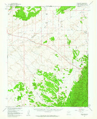
1957 Map of Shinarump
USGS Topo · Published 1964About this map
Buttons Ranch and Chatterly Ranch anchor the northern landscape of this Arizona-Utah border region, where the terrain transitions from the high Shinarump Cliffs into the expansive White Sage Flat. The mapping, conducted with cooperation from the Atomic Energy Commission, reflects an era of intense resource exploration and land management in the mid-1950s. The southern portion is dominated by the Kaibab National Forest, specifically the Kaibab National Forest Game Preserve, marked by dramatic topographic features like Lefevre Ridge and Wildcat Canyon.
Find a feature on this map
40 named features on this map. Tap any name to fly to it.
Don’t see what you’re looking for? This feature index may not catch every label — zoom into the map to look around manually.
Map Details
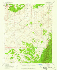
Editions of this 1957 Shinarump Map
2 editions found
Other maps of this area

1886 · Kanab
USGS Topo · 1:250,000

1886 · Kaibab
USGS Topo · 1:250,000

1936 · Jacobs Lake
USGS Topo · 1:48,000

1940 · Jacob Lake
USGS Topo · 1:62,500

1953 · Jacobs Lake
USGS Topo · 1:62,500

1953 · Cedar City
USGS Topo · 1:250,000

1953 · Grand Canyon
USGS Topo · 1:250,000

1954 · Buckskin Gulch SW
USGS Topo · 1:24,000

1954 · Johnson SE
USGS Topo · 1:24,000

1954 · Kanab SE
USGS Topo · 1:24,000