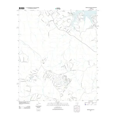
2012 Map of Shingle Hills
USGS Topo · Published 2012About this map
Lake Travis defines the northern edge of this landscape, its fingers reaching into the surrounding Texas hill country where residential development meets established ranchlands. The namesake Shingle Hills and the prominent Dakota Mtn rise above a complex network of waterways, including Hamilton Creek and Bee Creek. This 2012 survey captures a specific moment of expansion in Travis County, as new residential streets like Rough Hollow Drive and Highlands Boulevard appear alongside long-standing local landmarks. Genealogists and local historians can locate the Peryear Cem situated west of Fitzhugh Creek, while the presence of the Alexander Ranch Airport and multiple natural water sources like Barton Creek Springs and Hamilton Spring illustrate the varied land use of the era.
Find a feature on this map
130 named features on this map. Tap any name to fly to it.
Don’t see what you’re looking for? This feature index may not catch every label — zoom into the map to look around manually.
Map Details
Editions of this 2012 Shingle Hills Map
This is the sole edition of this map. No revisions or reprints were ever made.
Other maps of this area

1887 · Blanco
USGS Topo · 1:125,000

1894 · Blanco
USGS Topo · 1:125,000

1896 · Austin
USGS Topo · 1:125,000

1897 · Austin
USGS Topo · 1:125,000

1910 · Austin
USGS Topo · 1:125,000

1930 · Austin-2
USGS Topo · 1:48,000

1930 · Blanco-1
USGS Topo · 1:48,000

1932 · Mt. Bonnell
USGS Topo · 1:62,500

1954 · Llano
USGS Topo · 1:250,000

1954 · Austin
USGS Topo · 1:250,000