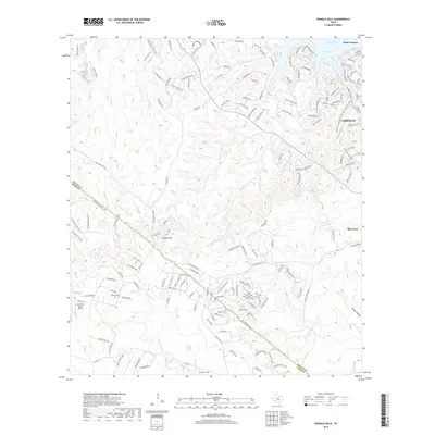
2019 Map of Shingle Hills
USGS Topo · Published 2019About this map
Lakeway and the surrounding Hill Country landscape appear in extensive detail during this 2019 survey, illustrating the modern residential expansion south of Lake Travis. The terrain is defined by a dense network of winding roads like Stagecoach Ranch Loop and Panorama Dr that navigate the ridges and hollows near the Colorado River. While much of the area has transitioned into developed communities, pockets of earlier history remain, such as the Peryear Cem and the Alexander Ranch Airport.
Find a feature on this map
37 named features on this map. Tap any name to fly to it.
Don’t see what you’re looking for? This feature index may not catch every label — zoom into the map to look around manually.
Map Details
Editions of this 2019 Shingle Hills Map
This is the sole edition of this map. No revisions or reprints were ever made.
Other maps of this area

1887 · Blanco
USGS Topo · 1:125,000

1894 · Blanco
USGS Topo · 1:125,000

1896 · Austin
USGS Topo · 1:125,000

1897 · Austin
USGS Topo · 1:125,000

1910 · Austin
USGS Topo · 1:125,000

1930 · Austin-2
USGS Topo · 1:48,000

1930 · Blanco-1
USGS Topo · 1:48,000

1932 · Mt. Bonnell
USGS Topo · 1:62,500

1954 · Llano
USGS Topo · 1:250,000

1954 · Austin
USGS Topo · 1:250,000