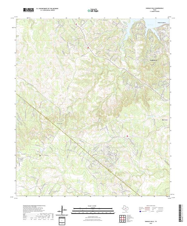
2022 Map of Shingle Hills
USGS Topo · Published 2022About this map
The hills of western Travis County meet the southern bends of Lake Travis in this detailed survey. The landscape is defined by the transition from the residential street networks of Lakeway and Point Venture to the more open ranching and conservation lands around Bee Cave. The terrain is deeply carved by drainage systems including Lick Cr and Fitzhugh Cr, which flow toward the Colorado River basin through limestone-rich country marked by Barton Creek Springs and Hamilton Spring.
Find a feature on this map
164 named features on this map. Tap any name to fly to it.
Don’t see what you’re looking for? This feature index may not catch every label — zoom into the map to look around manually.
Map Details
Editions of this 2022 Shingle Hills Map
This is the sole edition of this map. No revisions or reprints were ever made.
Other maps of this area

1887 · Blanco
USGS Topo · 1:125,000

1894 · Blanco
USGS Topo · 1:125,000

1896 · Austin
USGS Topo · 1:125,000

1897 · Austin
USGS Topo · 1:125,000

1910 · Austin
USGS Topo · 1:125,000

1930 · Austin-2
USGS Topo · 1:48,000

1930 · Blanco-1
USGS Topo · 1:48,000

1932 · Mt. Bonnell
USGS Topo · 1:62,500

1954 · Llano
USGS Topo · 1:250,000

1954 · Austin
USGS Topo · 1:250,000