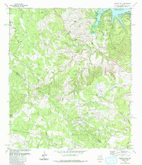
1986 Map of Shingle Hills
USGS Topo · Published 1986About this map
Shingle Hills and the rugged dissected plateau of the eastern Edwards Plateau define this 1986 survey of Travis and Hays Counties. The landscape is dominated by deeply incised drainage systems, including Barton Creek and Little Barton Creek, which carve through the limestone terrain toward the northeast. The northern edge of the map captures the encroaching waters of Lake Travis, where the suburban development of Lakeway is visible near the Austin Corporate Boundary.
Find a feature on this map
26 named features on this map. Tap any name to fly to it.
Don’t see what you’re looking for? This feature index may not catch every label — zoom into the map to look around manually.
Map Details
Editions of this 1986 Shingle Hills Map
This is the sole edition of this map. No revisions or reprints were ever made.
Other maps of this area

1887 · Blanco
USGS Topo · 1:125,000

1894 · Blanco
USGS Topo · 1:125,000

1896 · Austin
USGS Topo · 1:125,000

1897 · Austin
USGS Topo · 1:125,000

1910 · Austin
USGS Topo · 1:125,000

1930 · Austin-2
USGS Topo · 1:48,000

1930 · Blanco-1
USGS Topo · 1:48,000

1932 · Mt. Bonnell
USGS Topo · 1:62,500

1954 · Llano
USGS Topo · 1:250,000

1954 · Austin
USGS Topo · 1:250,000