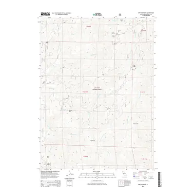
2015 Map of Ship Mountain
USGS Topo · Published 2015About this map
Six Rivers National Forest encompasses this high-altitude landscape where the complex drainage systems of the S Fork Smith River carve through the Klamath Mountains. The terrain is defined by prominent peaks including the Four Brothers—specifically summits named Number One through Number Four—and the central peak of Ship Mountain. Human activity in this remote wilderness is largely reflected in the network of Forest Service routes, such as Fox Ridge Rd, and the isolated site of Elkhorn Bar along the riverbank.
Find a feature on this map
38 named features on this map. Tap any name to fly to it.
Don’t see what you’re looking for? This feature index may not catch every label — zoom into the map to look around manually.
Map Details
Editions of this 2015 Ship Mountain Map
This is the sole edition of this map. No revisions or reprints were ever made.
Other maps of this area

1922 · Preston Peak
USGS Topo · 1:125,000

1945 · Ship Mountain
USGS Topo · 1:62,500

1945 · Gasquet
USGS Topo · 1:62,500

1948 · Weed
USGS Topo · 1:250,000

1950 · Weed
USGS Topo · 1:250,000

1951 · Gasquet
USGS Topo · 1:62,500

1952 · Ship Mountain
USGS Topo · 1:62,500

1955 · Dillon Mtn
USGS Topo · 1:62,500

1956 · Preston Peak
USGS Topo · 1:62,500

1958 · Weed
USGS Topo · 1:250,000