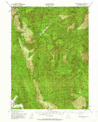
1952 Map of Ship Mountain
USGS Topo · Published 1962About this map
Klamath Glen sits near the confluence of the South Fork Smith River and the main Smith River, serving as a gateway to the high timberlands of the Six Rivers National Forest during the mid-century. This survey, updated in 1952, documents the dispersed ranching and mining activity that characterized the Del Norte back-country, including Alma Ranch, Wilson Ranch, and Stevens Ranch. Mining interests are specifically noted at the China Mine (Ora Grande) and various Prospects scattered across Blackhawk Ridge.
Find a feature on this map
85 named features on this map. Tap any name to fly to it.
Don’t see what you’re looking for? This feature index may not catch every label — zoom into the map to look around manually.
Map Details
Editions of this 1952 Ship Mountain Map
3 editions found

Other maps of this area

1922 · Preston Peak
USGS Topo · 1:125,000

1925 · Hoopa
USGS Topo · 1:125,000

1929 · Crescent City
USGS Topo · 1:125,000

1945 · Ship Mountain
USGS Topo · 1:62,500

1945 · Orick
USGS Topo · 1:62,500

1945 · Gasquet
USGS Topo · 1:62,500

1945 · Point St. George
USGS Topo · 1:62,500

1945 · Requa
USGS Topo · 1:62,500

1945 · Tectah Creek
USGS Topo · 1:62,500

1948 · Weed
USGS Topo · 1:250,000