
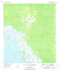
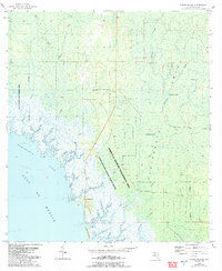
1955 Map of Shired Island
USGS Topo · Published 1956About this map
Shired Island and the neighboring Big Pine Island anchor this coastal survey of the Florida Gulf Coast, where the land dissolves into a complex network of salt marshes and tidal creeks. The interior is dominated by the vast California Swamp, a low-lying landscape defined by a dense web of wetlands and small isolated bodies of water like California Lake and Thompson Lake.
Find a feature on this map
19 named features on this map. Tap any name to fly to it.
Don’t see what you’re looking for? This feature index may not catch every label — zoom into the map to look around manually.
Map Details
Editions of this 1955 Shired Island Map
3 editions found
Other maps of this area

1954 · Eugene
USGS Topo · 1:24,000

1954 · Steinhatchee SE
USGS Topo · 1:24,000

1954 · Cross City SW
USGS Topo · 1:24,000

1954 · Horseshoe Beach
USGS Topo · 1:24,000

1954 · Suwannee
USGS Topo · 1:24,000

1954 · Vista
USGS Topo · 1:24,000

1954 · East Pass
USGS Topo · 1:24,000

1954 · Gainesville
USGS Topo · 1:250,000

1958 · Gainesville
USGS Topo · 1:250,000

1959 · Gainesville
USGS Topo · 1:250,000