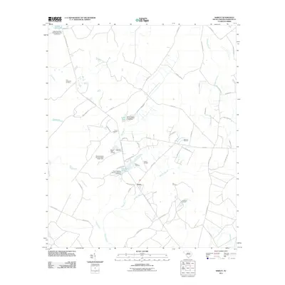
2011 Map of Shirley
USGS Topo · Published 2011About this map
The settlement of Shirley sits at the heart of this Lowcountry landscape, defined by a network of creeks and small impoundments like McKenzies Pond and Lafitte Pond. The area is notably dense with family and community burial grounds, reflecting deep genealogical roots and long-established landholdings. Many of these, such as the Old Lawtonville Cemetery, Union Cemetery, and Solomons Cemetery, are tucked away along local roads like Augusta Stagecoach Rd and Jericho Rd.
Find a feature on this map
61 named features on this map. Tap any name to fly to it.
Don’t see what you’re looking for? This feature index may not catch every label — zoom into the map to look around manually.
Map Details
Editions of this 2011 Shirley Map
This is the sole edition of this map. No revisions or reprints were ever made.
Other maps of this area

1918 · Varnville
USGS Topo · 1:62,500

1919 · Pineland
USGS Topo · 1:62,500

1919 · Shirley
USGS Topo · 1:62,500

1920 · Peeples
USGS Topo · 1:62,500

1943 · Pineland
USGS Topo · 1:62,500

1943 · Peeples
USGS Topo · 1:62,500

1943 · Shirley
USGS Topo · 1:62,500

1944 · Varnville
USGS Topo · 1:62,500

1947 · Savannah
USGS Topo · 1:250,000

1948 · Savannah
USGS Topo · 1:250,000