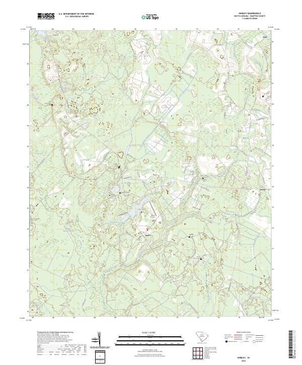
2024 Map of Shirley
USGS Topo · Published 2024About this map
Haskell Barony Swamp and Barony Swamp dominate the Lowcountry terrain of this South Carolina landscape, where ancient watercourses like Daley Branch and Millpond Branch thread through a network of rural homesteads and agricultural land. The small community of Shirley serves as a central point in a region defined by its generational family roots, as evidenced by the high density of private and community burial grounds including Old Lawtonville Cem and Horse Pond Cem. Local infrastructure is anchored by the Davis Airport and a grid of historical routes such as the Augusta Stagecoach Rd and Hudson Ferry Rd, which connect the more established areas of Estill and Scotia. The geography reflects a traditional Southern pattern of scattered settlements and named creek systems like Boggy Branch and Pike Creek that have shaped local land use for centuries.
Find a feature on this map
60 named features on this map. Tap any name to fly to it.
Don’t see what you’re looking for? This feature index may not catch every label — zoom into the map to look around manually.
Map Details
Editions of this 2024 Shirley Map
This is the sole edition of this map. No revisions or reprints were ever made.
Other maps of this area

1918 · Varnville
USGS Topo · 1:62,500

1919 · Pineland
USGS Topo · 1:62,500

1919 · Shirley
USGS Topo · 1:62,500

1920 · Peeples
USGS Topo · 1:62,500

1943 · Pineland
USGS Topo · 1:62,500

1943 · Peeples
USGS Topo · 1:62,500

1943 · Shirley
USGS Topo · 1:62,500

1944 · Varnville
USGS Topo · 1:62,500

1947 · Savannah
USGS Topo · 1:250,000

1948 · Savannah
USGS Topo · 1:250,000