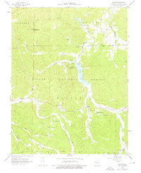
1958 Map of Shirley
USGS Topo · Published 1976About this map
Clark National Forest blankets much of this area, where timbered ridges and deep hollows define the landscape of the late 1950s. The settlement of Shirley serves as a small focal point near the center, while Camp Lakewood sits on the western shore of Sunnen Lake, a significant water feature created by a massive spillway. The geography is characterized by several rural congregations and their associated burial grounds, which speak to the area's genealogical history. Notable landmarks include the Lookout Tower on a high ridge and the Floyd Lookout Tower at Little Pilot Knob. The network of creeks and branches, such as Fourche a Renault and Lost Creek, once provided vital water sources for these isolated communities. The placement of Shirley School and numerous country churches like White Oak Grove Ch highlights a dispersed but connected rural society organized around the natural drainages of the Missouri Ozarks.
Find a feature on this map
42 named features on this map. Tap any name to fly to it.
Don’t see what you’re looking for? This feature index may not catch every label — zoom into the map to look around manually.
Map Details
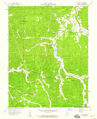
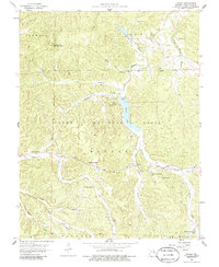
Editions of this 1958 Shirley Map
3 editions found
Other maps of this area

1901 · De Soto
USGS Topo · 1:125,000

1903 · Sullivan
USGS Topo · 1:125,000

1906 · Potosi
USGS Topo · 1:62,500

1943 · Berryman
USGS Topo · 1:62,500

1945 · Berryman
USGS Topo · 1:62,500

1946 · Richwoods
USGS Topo · 1:62,500

1947 · Sullivan
USGS Topo · 1:62,500

1948 · Richwoods
USGS Topo · 1:62,500

1949 · Saint Louis
USGS Topo · 1:250,000

1949 · Sullivan
USGS Topo · 1:62,500