
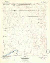
1951 Map of Shoals
USGS Topo · Published 1952About this map
The Red River defines the southern boundary of this 1951 study, where the St Louis San Francisco railroad tracks cross the northern landscape. This rural frontier in Choctaw County is characterized by a dense network of country schools and local cemeteries that reflect the social organization of the mid-century. Distinctive landmarks like the Fish Hatchery and the Everidge ridge provide geographical anchors among the many creek systems, including Carney Creek, Horse Creek, and Owl Creek.
Find a feature on this map
31 named features on this map. Tap any name to fly to it.
Don’t see what you’re looking for? This feature index may not catch every label — zoom into the map to look around manually.
Map Details
Editions of this 1951 Shoals Map
2 editions found
Other maps of this area

1901 · Antlers
USGS Topo · 1:125,000

1901 · Alikchi
USGS Topo · 1:125,000

1903 · Paris
USGS Topo · 1:125,000

1912 · Antlers
USGS Topo · 1:125,000

1925 · Antlers
USGS Topo · 1:125,000

1948 · Grant
USGS Topo · 1:62,500

1949 · Grant
USGS Topo · 1:62,500

1950 · Mcalester
USGS Topo · 1:250,000

1951 · Slate Shoals
USGS Topo · 1:24,000

1951 · Frogville
USGS Topo · 1:24,000