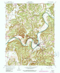
1960 Map of Shoals
USGS Topo · Published 1990About this map
Shoals serves as the focal point of this Indiana landscape, situated along a dramatic bend of the East Fork White River. The local geography is defined by sharp elevation changes, featuring landmarks like Cedar Bluff, Pinnacle Rock, and the Overlook south of the river. The Baltimore and Ohio RR follows the river corridor, supporting a network of small settlements and industries such as Ironton and the Ship Mine. To the north, the Crane Naval Ammunition Depot marks a significant military presence, while the southern reaches transition into the Hoosier National Forest. This survey captures the mid-century intersection of transportation, natural resources, and rural community life, documented through several local congregations including Friendship Ch and Poplar Grove Ch.
Find a feature on this map
74 named features on this map. Tap any name to fly to it.
Don’t see what you’re looking for? This feature index may not catch every label — zoom into the map to look around manually.
Map Details
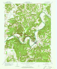
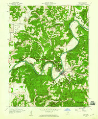
Editions of this 1960 Shoals Map
3 editions found
Other maps of this area

1935 · Oolitic
USGS Topo · 1:48,000

1942 · Oolitic
USGS Topo · 1:62,500

1948 · Huron
USGS Topo · 1:24,000

1950 · Huron
USGS Topo · 1:24,000

1950 · Shoals
USGS Topo · 1:24,000

1950 · Odon
USGS Topo · 1:24,000

1951 · Hillham
USGS Topo · 1:24,000

1956 · Alfordsville
USGS Topo · 1:24,000

1956 · Loogootee
USGS Topo · 1:24,000

1956 · Rusk
USGS Topo · 1:24,000