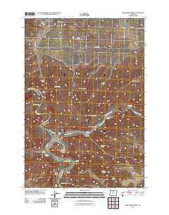
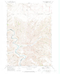
2011 Map of Shoestring Ridge
USGS Topo · Published 2011About this map
The John Day River carves a deep, winding path through this corner of Sherman County, creating a dramatic landscape of canyons and high plateaus. The river’s course is joined by Thirtymile Creek, which drains a network of side canyons including Richmond Canyon and Armstrong Canyon. This territory is defined by its topographic extremes, with prominent elevations such as Nelson Butte and Table Rock overlooking the drainage basins below.
Find a feature on this map
33 named features on this map. Tap any name to fly to it.
Don’t see what you’re looking for? This feature index may not catch every label — zoom into the map to look around manually.
Map Details
Editions of this 2011 Shoestring Ridge Map
This is the sole edition of this map. No revisions or reprints were ever made.
Other maps of this area

1916 · Condon
USGS Topo · 1:125,000

1953 · The Dalles
USGS Topo · 1:250,000

1956 · The Dalles
USGS Topo · 1:250,000

1957 · The Dalles
USGS Topo · 1:250,000

1970 · Igo Butte
USGS Topo · 1:24,000
1970 · Schott Canyon
USGS Topo · 1:24,000
1970 · Chimney Springs
USGS Topo · 1:24,000

1970 · Indian Cove
USGS Topo · 1:24,000
1970 · Buckhorn Canyon
USGS Topo · 1:24,000
1970 · Shoestring Ridge
USGS Topo · 1:24,000