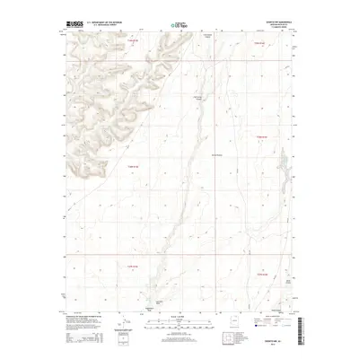
2014 Map of Shonto NW
USGS Topo · Published 2014About this map
Shonto Plateau dominates the central landscape of this Navajo County region, characterized by its high-elevation terrain and deep incisions of drainage networks. The northern reaches are defined by the dramatic descent into Cliff Spring Canyon, while the southern expanse transitions into the drainages of Last End Wash and Begashibito Wash. This 2014 survey documents a sparse but vital network of water sources, including Adahka Spring and Sand Spring, which have historically been critical for life in this arid high-desert environment. Bureau of Indian Affairs routes like Bia-16 and Bia-6320 provide the primary infrastructure through the township and range divisions, connecting remote plateau sections to the deeper reaches of Shato Canyon in the southeast corner. The map illustrates a land defined by its geology, where the surface water is ephemeral but the named canyon systems are permanent markers of the landscape's evolution.
Find a feature on this map
18 named features on this map. Tap any name to fly to it.
Don’t see what you’re looking for? This feature index may not catch every label — zoom into the map to look around manually.
Map Details
Editions of this 2014 Shonto NW Map
This is the sole edition of this map. No revisions or reprints were ever made.
Other maps of this area

1883 · Marsh Pass
USGS Topo · 1:250,000

1892 · Marsh Pass
USGS Topo · 1:250,000

1956 · Marble Canyon
USGS Topo · 1:250,000

1959 · Marble Canyon
USGS Topo · 1:250,000

1961 · Marble Canyon
USGS Topo · 1:250,000

1970 · Whirlwind Rock
USGS Topo · 1:24,000

1970 · Shonto SE
USGS Topo · 1:24,000
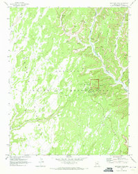
1970 · Betatakin Ruin
USGS Topo · 1:24,000
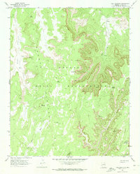
1970 · Tall Mountain
USGS Topo · 1:24,000
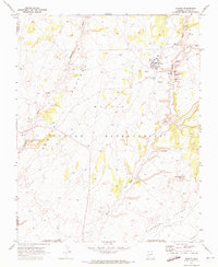
1970 · Shonto
USGS Topo · 1:24,000