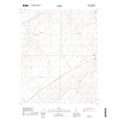
2018 Map of Shonto SE
USGS Topo · Published 2018About this map
The Shonto Plateau dominates this high-desert landscape in Navajo County, defined by a network of drainage patterns and distinct topographic boundaries. The land descends toward the Klethla Valley and Long House Valley in the southeast, where the terrain flattens significantly compared to the dissected plateau above. This area is shaped by the intermittent flow of Shonto Wash, which carves through the sandstone layers typical of this region. Human activity is marked by a sparse road network, including Indian Rte 221 and Indian Rte 6312. An industrial footprint is evident via the Peabody Coal Company Access Rd, reflecting the modern energy and transport infrastructure that intersects with traditional tribal lands.
Find a feature on this map
11 named features on this map. Tap any name to fly to it.
Don’t see what you’re looking for? This feature index may not catch every label — zoom into the map to look around manually.
Map Details
Editions of this 2018 Shonto SE Map
This is the sole edition of this map. No revisions or reprints were ever made.
Other maps of this area

1883 · Marsh Pass
USGS Topo · 1:250,000

1892 · Marsh Pass
USGS Topo · 1:250,000

1956 · Marble Canyon
USGS Topo · 1:250,000

1959 · Marble Canyon
USGS Topo · 1:250,000

1961 · Marble Canyon
USGS Topo · 1:250,000

1968 · Marsh Pass
USGS Topo · 1:24,000

1970 · Black Mesa Wash NW
USGS Topo · 1:24,000

1970 · Shonto SE
USGS Topo · 1:24,000
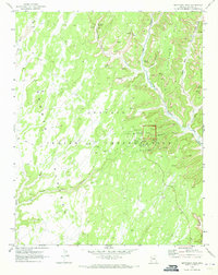
1970 · Betatakin Ruin
USGS Topo · 1:24,000
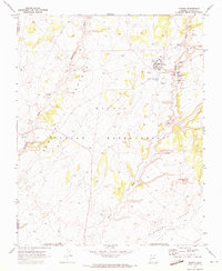
1970 · Shonto
USGS Topo · 1:24,000