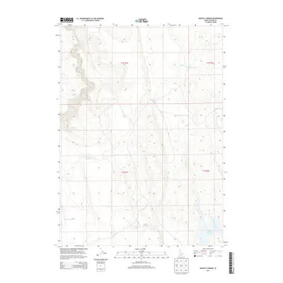
2013 Map of Shoofly Springs
USGS Topo · Published 2013About this map
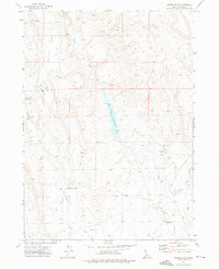
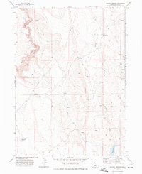
Shoofly Springs serves as a focal point in this high-desert landscape of Owyhee County, where water management is the primary marker of human intervention. The terrain is defined by a network of seasonal drainages and small-scale impoundments designed to capture runoff in a semi-arid environment. Key water features include the evocatively named Eds Defeat Res and the larger Bybee Reservoir in the southeast. A series of creek systems, such as Shoofly Cr, Battle Cr, and Yarahoney Cr, weave through the township divisions of t12s r1e and t13s r2e. This 2013 survey illustrates the continued reliance on isolated springs and reservoirs like Owens Reservoir and Willow Crk Res to support ranching and local land use in this sparsely populated portion of southern Idaho.
Find a feature on this map
15 named features on this map. Tap any name to fly to it.
Don’t see what you’re looking for? This feature index may not catch every label — zoom into the map to look around manually.
Map Details
Editions of this 2013 Shoofly Springs Map
This is the sole edition of this map. No revisions or reprints were ever made.
Other maps of this area

1955 · Jordan Valley
USGS Topo · 1:250,000

1957 · Jordan Valley
USGS Topo · 1:250,000

1958 · Jordan Valley
USGS Topo · 1:250,000
1971 · Flying H Ranch
USGS Topo · 1:24,000
1971 · Jarvis Pasture
USGS Topo · 1:24,000

1971 · Ross Lake
USGS Topo · 1:24,000
1972 · Frying Pan Basin
USGS Topo · 1:24,000

1972 · Turner Table
USGS Topo · 1:24,000
1972 · Nichol Flat
USGS Topo · 1:24,000
1972 · Shoofly Springs
USGS Topo · 1:24,000