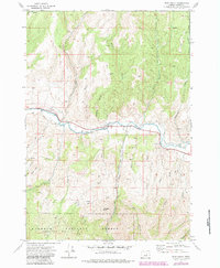
1972 Map of Shop Gulch
USGS Topo · Published 1984About this map
The John Day River carves a central east-west path through this Oregon landscape, providing the lifeblood for a terrain dominated by steep gulches and high desert ridges. This 1972 survey, later photorevised, captures the intersection of managed timberlands and riparian activity within the Malheur National Forest. Historical land use is visible through the system of fence lines and jeep trails that navigate between Coyote Butte and Horseshoe Butte.
Find a feature on this map
45 named features on this map. Tap any name to fly to it.
Don’t see what you’re looking for? This feature index may not catch every label — zoom into the map to look around manually.
Map Details
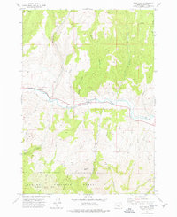
Editions of this 1972 Shop Gulch Map
2 editions found
Other maps of this area

1940 · Mount Vernon
USGS Topo · 1:62,500

1940 · Aldrich Mtn.
USGS Topo · 1:62,500

1943 · Aldrich Mtn.
USGS Topo · 1:62,500

1943 · Mount Vernon
USGS Topo · 1:62,500

1949 · Long Creek
USGS Topo · 1:62,500

1951 · Long Creek
USGS Topo · 1:62,500

1951 · Courtrock
USGS Topo · 1:62,500

1955 · Canyon City
USGS Topo · 1:250,000

1959 · Canyon City
USGS Topo · 1:250,000

1972 · Big Weasel Sprs
USGS Topo · 1:24,000