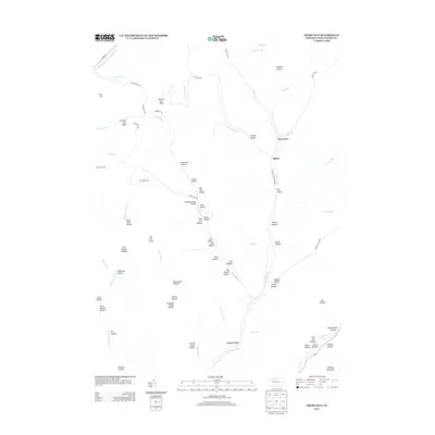
2013 Map of Short Run
USGS Topo · Published 2013About this map
Cross Fork and its numerous tributaries define the deeply dissected plateau of Abbott Township in Potter County. This 2013 survey reveals a landscape dominated by narrow valleys, locally known as hollows, which historically served as the primary corridors for settlement and travel. Small hamlets like Short Run and Abbott are situated along these watercourses, often near junctions like Old Cross Fork Creek Rd and Short Run Rd. The terrain is marked by distinctive family-named landmarks such as Bachman Hollow, Knickerbocker Hollow, and Hoover Hollow, reflecting the region's homesteading history.
Find a feature on this map
74 named features on this map. Tap any name to fly to it.
Don’t see what you’re looking for? This feature index may not catch every label — zoom into the map to look around manually.
Map Details
Editions of this 2013 Short Run Map
This is the sole edition of this map. No revisions or reprints were ever made.
Other maps of this area

1943 · Hyner
USGS Topo · 1:62,500

1946 · Young Womans Creek
USGS Topo · 1:24,000

1946 · Renovo East
USGS Topo · 1:62,500

1946 · Renovo West
USGS Topo · 1:62,500

1946 · Hammersley Fork
USGS Topo · 1:24,000

1946 · Tamarack
USGS Topo · 1:24,000

1947 · Conrad
USGS Topo · 1:62,500

1947 · Galeton
USGS Topo · 1:62,500

1947 · Conrad
USGS Topo · 1:24,000

1947 · Short Run
USGS Topo · 1:24,000
Featured Places
- Abbott Township, PA
- Wharton Township, PA
- Stewardson Township, PA
- Gravel Lick, Stewardson Township
- Summit Township, PA