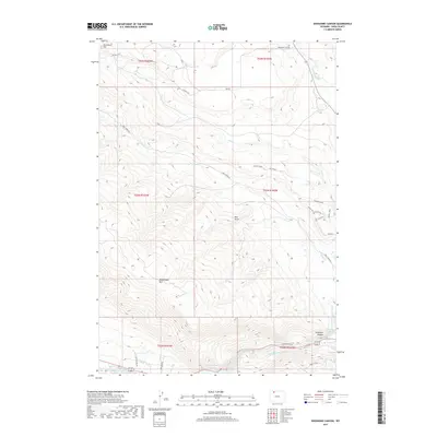
2017 Map of Shoshone Canyon
USGS Topo · Published 2017About this map
Rattlesnake Mtn dominates this Wyoming landscape, rising sharply above the western edge of the Shoshone Canyon. The topography is defined by the thermal activity and water management of the region, featuring Shoshone Hot Springs and Needle-Hot Springs near the eastern canyon entrance. To the south, the waters of the Buffalo Bill Reservoir meet the Shoshone River, while the Heart Mountain Canal suggests the engineered irrigation essential to the surrounding valley. Local character is revealed through a network of trails and roads such as the Outlaw Trail, Twisted Sister, and Jail Break, which weave through the high-elevation terrain near Red Butte and Monument Hill. This map captures a intersection of natural geological wonders and modern recreational and agricultural infrastructure.
Find a feature on this map
33 named features on this map. Tap any name to fly to it.
Don’t see what you’re looking for? This feature index may not catch every label — zoom into the map to look around manually.
Map Details
Editions of this 2017 Shoshone Canyon Map
This is the sole edition of this map. No revisions or reprints were ever made.
Other maps of this area

1949 · Pat O'Hara Mountain
USGS Topo · 1:62,500

1949 · Cody
USGS Topo · 1:62,500

1951 · Cody
USGS Topo · 1:62,500

1955 · Cody
USGS Topo · 1:250,000

1957 · Wapiti
USGS Topo · 1:62,500

1957 · Devils Tooth
USGS Topo · 1:62,500

1958 · Cody
USGS Topo · 1:250,000

1962 · Cody
USGS Topo · 1:250,000

1980 · Carter Mountain
USGS Topo · 1:100,000

1980 · Cody
USGS Topo · 1:100,000