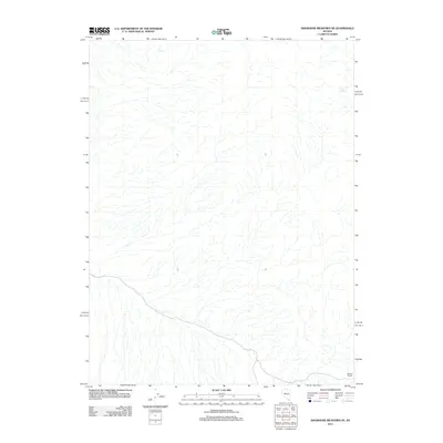
2011 Map of Shoshone Meadows NE
USGS Topo · Published 2011About this map
Cain Spring and Soldiers Spring provide the primary named landmarks in this arid section of Churchill County, where ephemeral drainage patterns define the landscape. This 2011 survey by the U.S. Geological Survey documents a remote expanse of the Great Basin, focusing on the intricate hydrologic networks that feed into the Shoshone Meadows area. The sparse distribution of named water sources like these springs highlights the critical importance of reliable water points for travelers and livestock in the Nevada desert. While the map is dominated by topographic contouring and unnamed washes, the inclusion of these specific springs suggests their enduring role as focal points for local land use and survival in a high-desert environment.
Find a feature on this map
2 named features on this map. Tap any name to fly to it.
Don’t see what you’re looking for? This feature index may not catch every label — zoom into the map to look around manually.
Map Details
Editions of this 2011 Shoshone Meadows NE Map
This is the sole edition of this map. No revisions or reprints were ever made.
Other maps of this area

1932 · Sonoma Range
USGS Topo · 1:250,000

1939 · Sonoma Range
USGS Topo · 1:250,000

1955 · Millett
USGS Topo · 1:250,000

1955 · Winnemucca
USGS Topo · 1:250,000

1958 · Winnemucca
USGS Topo · 1:250,000

1959 · Millett
USGS Topo · 1:250,000

1961 · Cain Mountain
USGS Topo · 1:62,500

1961 · Mt. Moses
USGS Topo · 1:62,500

1962 · Winnemucca
USGS Topo · 1:250,000

1966 · Shoshone Meadows
USGS Topo · 1:62,500