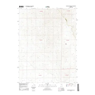
2014 Map of Shoshone Meadows NE
USGS Topo · Published 2014About this map
The high ridges and deep drainages of the Augusta Mountains dominate this 2014 survey along the high-desert border of Central Nevada. This terrain is defined by its isolation and limited water sources, with Cain Spring serving as one of the few named landmarks in the northeastern portion of the sheet. The map documents the political boundary between Churchill Co and Lander Co as it traverses the high ground, providing a precise record of these county lines in relation to the complex topography. While the landscape lacks established towns or major infrastructure, the detailed contouring reveals the intricate network of canyons and peaks that have historically influenced movement and land use across these townships. This survey is essential for understanding the natural geography and administrative divisions of the Great Basin during the early 21st century.
Find a feature on this map
9 named features on this map. Tap any name to fly to it.
Don’t see what you’re looking for? This feature index may not catch every label — zoom into the map to look around manually.
Map Details
Editions of this 2014 Shoshone Meadows NE Map
This is the sole edition of this map. No revisions or reprints were ever made.
Other maps of this area

1932 · Sonoma Range
USGS Topo · 1:250,000

1939 · Sonoma Range
USGS Topo · 1:250,000

1955 · Millett
USGS Topo · 1:250,000

1955 · Winnemucca
USGS Topo · 1:250,000

1958 · Winnemucca
USGS Topo · 1:250,000

1959 · Millett
USGS Topo · 1:250,000

1961 · Cain Mountain
USGS Topo · 1:62,500

1961 · Mt. Moses
USGS Topo · 1:62,500

1962 · Winnemucca
USGS Topo · 1:250,000

1966 · Shoshone Meadows
USGS Topo · 1:62,500