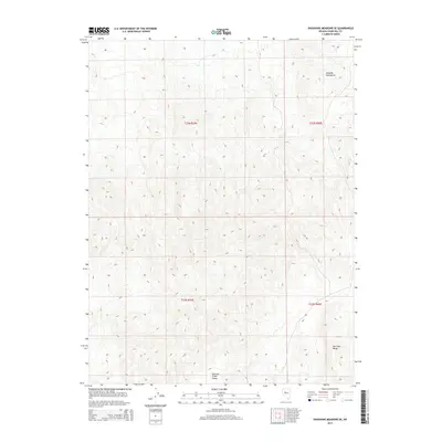
2014 Map of Shoshone Meadows SE
USGS Topo · Published 2014About this map
Edwards Creek Valley serves as the central basin for this high-desert landscape in central Nevada. Flanked by the towering Augusta Mountains to the north and the New Pass Range to the southeast, the terrain transitions from expansive valley floors to steep, complex ridgelines. The map is defined by its Public Land Survey System grid, primarily covering parts of t23n r39e and t22n r39e. These legal townships help researchers pinpoint specific parcels of land within the remote interior of Churchill County, where the topography rises sharply from the valley sinks toward the high mountain peaks.
Find a feature on this map
7 named features on this map. Tap any name to fly to it.
Don’t see what you’re looking for? This feature index may not catch every label — zoom into the map to look around manually.
Map Details
Editions of this 2014 Shoshone Meadows SE Map
This is the sole edition of this map. No revisions or reprints were ever made.
Other maps of this area

1955 · Millett
USGS Topo · 1:250,000

1959 · Millett
USGS Topo · 1:250,000

1966 · Shoshone Meadows
USGS Topo · 1:62,500

1966 · Edwards Creek Valley
USGS Topo · 1:62,500

1969 · Gilbert Creek SW
USGS Topo · 1:24,000
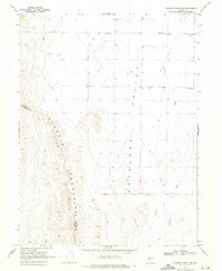
1969 · Gilbert Creek NW
USGS Topo · 1:24,000

1969 · Mount Airy NW
USGS Topo · 1:24,000

1983 · Edwards Creek Valley
USGS Topo · 1:100,000
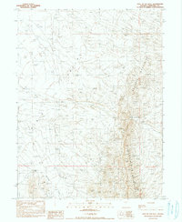
1990 · Hole In The Wall
USGS Topo · 1:24,000
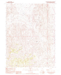
1990 · Shoshone Meadows
USGS Topo · 1:24,000